Aljažev dom v Vratih - Gubno
Starting point: Aljažev dom v Vratih (1015 m)
Starting point Lat/Lon: 46.4128°N 13.8466°E 
Time of walking: 4 h 45 min
Difficulty: easy pathless terrain
Difficulty of skiing: demanding
Altitude difference: 1388 m
Altitude difference (by path): 1388 m
Map: TNP 1:50.000
Access to starting point:
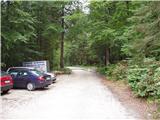
We leave Gorenjska highway at exit Hrušica and follow the road ahead in the direction of Kranjska Gora. Just a little before the village Dovje the road which goes to Mojstrana (Vrata, Kot and Krma) branches off to the left. We follow the road ahead in the direction of valley Vrata and we drive on that road to the large parking lot near Aljažev dom.
Path description:
From the parking lot, we continue on a macadam road which after 3 minutes of walking brings us to a crossing at Aljažev dom. We continue right in the direction of Škrlatica and Dolkova špica on the path which through a meadow leads into the forest. Further, we are ascending on at first a gentle cart track which higher changes into a little steeper footpath. The path soon brings us to a riverbed of a torrent, by which it is ascending only for a short time, and then it turns right and steeply ascends through the forest. The path is then turning towards the left, where it crosses a short avalanche slope, and then it gradually passes on the slopes below Stenar. Further, we are ascending on the mentioned slopes, which are slightly covered with dwarf pines and individual larches. Higher, the path brings us to a smaller crossing, where we continue right in the direction of Škrlatica (left Stenar on an unmarked path through Stenarska vratca). The path ahead is ascending only for a short time, and then the path flattens and it brings us to a bigger crossing, where we continue left in the direction of the mountain hut Pogačnikov dom and bivouac Bivak na Rušju (right Škrlatica). The marked path bypasses the bivouac on the right side and behind it for a short time steeply ascends. Further, the steepness decreases and the path leads us on karst terrain, which is full of abysses, cracks and caves. Nice high mountain path, which offers nice views mainly on surrounding peaks, higher brings us to the next crossing. We continue left in the direction of the mountain hut Pogačnikov dom (right Dolkova špica and Škrlatica over Rdeča škrbina) on the path which higher brings us on the edge of the wall of Kriška stena. We continue right in the direction of Krnica (straight Križ and Pogačnikov dom), but only to a spot, where the marked path turns left downwards. At this spot, we notice a little bigger cairn, which is situated few meters from the marked path. We walk to the cairn, and then we look for the further route of ascent. Because of large number of large cracks and abysses is the initial part orientationally a little harder, but in nice weather not very difficult. When we get over this labyrinth, we come below the foot of Gubno. Next, we ascend on a relatively steep slope, where we stick to the right passages (less steep). After a few minute ascent the slope flattens, and we pass on the upper grassy slope of the mountain, which we then follow to a panoramic summit.
Vrata - Bivak na Rušju 3:00, Bivak na Rušju - Gubno 1:45.
Pictures:
 1
1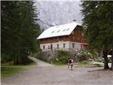 2
2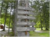 3
3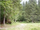 4
4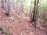 5
5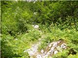 6
6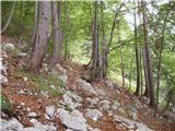 7
7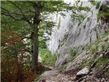 8
8 9
9 10
10 11
11 12
12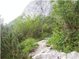 13
13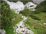 14
14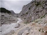 15
15 16
16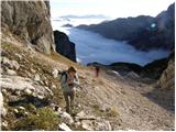 17
17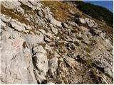 18
18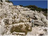 19
19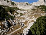 20
20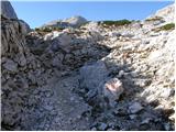 21
21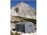 22
22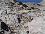 23
23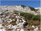 24
24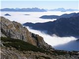 25
25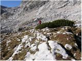 26
26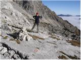 27
27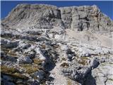 28
28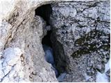 29
29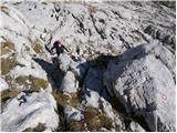 30
30 31
31 32
32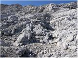 33
33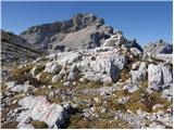 34
34 35
35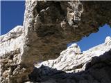 36
36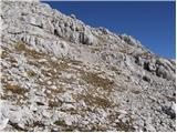 37
37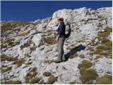 38
38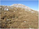 39
39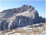 40
40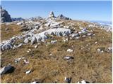 41
41 42
42