Bad Gleichenberg (Eichgraben Weg) - Bschaidkogel (via Steinriegel)
Starting point: Bad Gleichenberg (Eichgraben Weg) (328 m)
Starting point Lat/Lon: 46.88265°N 15.92017°E 
Path name: via Steinriegel
Time of walking: 1 h 30 min
Difficulty: easy marked way
Difficulty of skiing: no data
Altitude difference: 235 m
Altitude difference (by path): 235 m
Map:
Access to starting point:
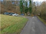
We drive into Gornja Radgona, from where we drive into Austria. Through Radgona / Bad Radkersburg we follow the signs for highway, and after the settlement Halbenrain we turn right in the direction of the town Vrbna / Feldbach. When we get to the settlement Bad Gleichenberg after the car wash Eurowash, we turn right on the road Badstraße, and then we drive also on Ringstraße, Bernreither Straße, Steinriegelstraße and here we turn left on Eichgraben Weg. On the mentioned path we drive for few 100 meters and then we park on a parking lot by the edge of the forest.
Path description:
From the parking lot, we on the road return to the last crossroad, and from there we go left, where we at first cross the nearby stream and then we walk on a paved path which leads us parallel with the road. Higher, we get to a small saddle, where we go left on a side road, by which continues the path 786. Further, we are ascending on Steinriegelstraße, where we go past several houses. Higher, the road flattens, and then we lightly descend to a crossroad, where from the left joins the path via Eichgraben, and we continue straight and we again start ascending.
At the nearby crossroad, we go once again left, and the settlement before the forest ends. We continue the ascent on a macadam road through the forest, and at two crossings we stick to the left direction. A little further, we get closer to abandoned quarry, where we go straight, and the road a little ahead turns right and it brings us to a bench, which is situated above the quarry and from which a beautiful view opens up. Further, we are ascending diagonally on slopes of Bschaidkogel, where the path leads us past the hunting observatory. When we already get to south slopes we go from the road right on a worse cart track, on which we continue the ascent. The cart track quickly changes into a footpath, on which we continue to the indistinct peak.
Description and pictures refer to a condition in January 2023.
On the way: Steinriegel (427m)
Pictures:
 1
1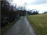 2
2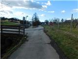 3
3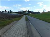 4
4 5
5 6
6 7
7 8
8 9
9 10
10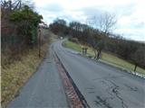 11
11 12
12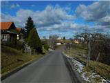 13
13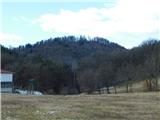 14
14 15
15 16
16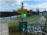 17
17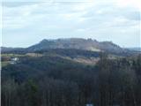 18
18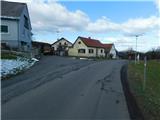 19
19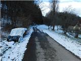 20
20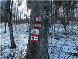 21
21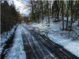 22
22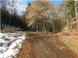 23
23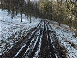 24
24 25
25 26
26 27
27 28
28 29
29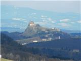 30
30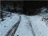 31
31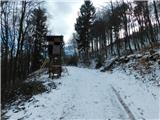 32
32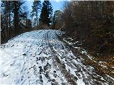 33
33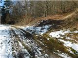 34
34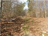 35
35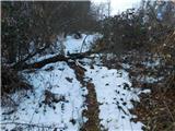 36
36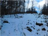 37
37 38
38