Bagni di Lusnizza - Monte Gosadon
Starting point: Bagni di Lusnizza (691 m)
Starting point Lat/Lon: 46.49777°N 13.3821°E 
Time of walking: 3 h 50 min
Difficulty: very difficult marked way
Difficulty of skiing: no data
Altitude difference: 1277 m
Altitude difference (by path): 1350 m
Map: Julijske Alpe - zahodni del 1:50.000
Access to starting point:
Over the border crossing Rateče or Predel we drive to Trbiž / Tarvisio, and then we continue driving on the old road towards Videm / Udine. This road we follow to the settlement Lužnice / Bagni di Lusnizza. When we will on the left side of the road notice the church, we turn sharp, almost 180 degrees left into the mentioned settlement. Then we follow the road through the village and we follow the signs for museum Museo della Foresta. When the last houses in the village end, we will on the right side of the road notice an asphalt parking lot. We can park already here or we continue driving and then through the underpass we cross the highway. Immediately after the underpass we continue left and then we park on an appropriate place by the road.
Path description:
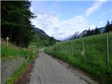
From the starting point, we continue on a narrow road parallel with the highway. When we will on the highway notice the exit and signs for resting place La Foresta, we continue few ten meters on the road and then on the right we will notice a cart track which slightly ascends into the forest.
We go on the mentioned cart track and soon after the beginning of the cart track we will by the path notice an old sign for mountain pasture Malga Granuda and Due Pizzi. On the cart track, we continue to the nearby crossing where there are also signposts.
We continue left on a worse cart track past the feed site for wild animals, where we also get pointed to by signs for mountain pasture Malga Granuda and Due Pizzi. To the right leads the path towards the saddle Sella Bieliga.
A little overgrown cart track through the forest brings us to a clearing and stream Rio Granuda Piccolo where from the left another cart track joins. A short time we continue right on a poorly visible cart track, and then we go firmly to the left and we cross the stream. After crossing the stream, the path brings us into the forest and then runs towards the east. The path here ascends diagonally and on some parts it is damaged because of landslides and fallen trees. To the right then the path marked with orange dots branches off, and we continue straight and we still cross the slopes towards the east. From the mentioned crossing, we cross slopes for approximately 15 minutes and then the path turns firmly to the right. Further, we are then for a long time ascending in hairpin turns mostly through the forest and occasionally we cross also few quite overgrown clearings. Higher then from the right again joins the path which is marked with orange dots. A poorly beaten path is still all the time ascending through the forest so it doesn't offer any view. A little before the mountain pasture Malga Granuda we get to a marked crossing, where the path branches off to the right towards the notch Forcella Cuel Tarond.
We continue straight on the path 604 and mostly in a gentle descent, we soon reach the mountain pasture Malga Granuda.
On the mountain pasture, we continue past a shepherd hut and we descend on a cart track to the first left turn where there is a crossing. At the turn, we leave the cart track and we go straight on a footpath. From the crossing, we at first short time walk through a lane of deciduous forest and then the path passes on steeper slopes covered with dwarf pines and larches. A relatively steep path then brings us to a marked crossing.
We continue left towards Dve špici (Due Pizzi), and from the right joins a little more demanding path voa notch Forcella Cuel Tarond.
From the crossing, the path becomes even steeper, so that at the ascent, we have to occasionally use hands. Later, the steepness decreases and the path brings us on the scree below precipitous ridge of the peak Monte Gosadon. Here the path turns to the left and crosses the mentioned scree. On the other side of the scree the path again steeply ascends, and then follows also a crossing of a shorter gully where because of sand on the path also some caution is needed. Further, the slope becomes again more vegetated with dwarf pines and then follows an ascent towards the saddle between the peaks Cima Alta (Dve špici)) and Monte Gosadon. A little below the saddle, the path also brings us to a crossing.
Straight leads the path towards Dve špici, and we go right on a narrow footpath towards the summit Monte Gosadon. The path from the crossing towards the summit is marked with red dots and at first, it turns to the right and then for some time runs through dwarf pines. When we come on a smaller notch from which a view opens up a little towards Viš and Montaž we continue right steeply upwards. The ascent on this part is very steep so also some caution is needed. The steepness then decreases a little and the path again leads by dwarf pines. Higher, the path turns to the left and dwarf pine by the path becomes rarer. Here the path brings us on again steeper slopes where again a little more caution is needed. After crossing the steep slope from the left joins the path from the valley Dunja.
At the crossing, we continue right and only a short ascent follows on a panoramic slope past some military ruins to the top.
Pictures:
 1
1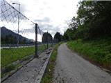 2
2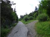 3
3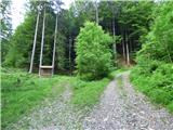 4
4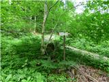 5
5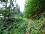 6
6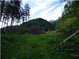 7
7 8
8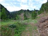 9
9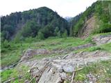 10
10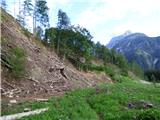 11
11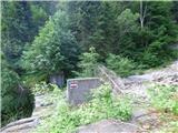 12
12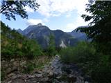 13
13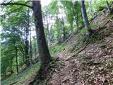 14
14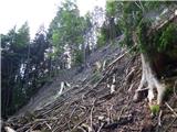 15
15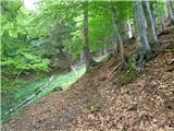 16
16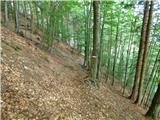 17
17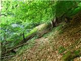 18
18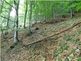 19
19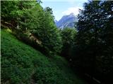 20
20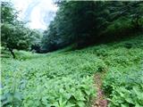 21
21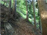 22
22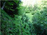 23
23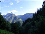 24
24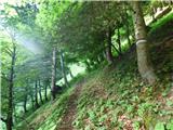 25
25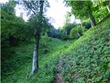 26
26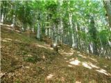 27
27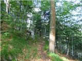 28
28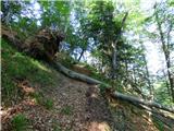 29
29 30
30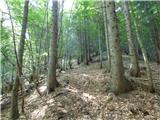 31
31 32
32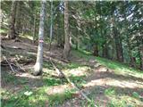 33
33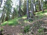 34
34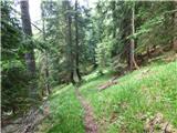 35
35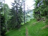 36
36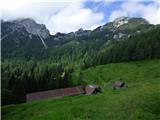 37
37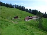 38
38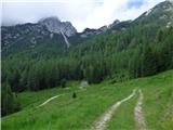 39
39 40
40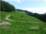 41
41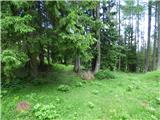 42
42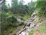 43
43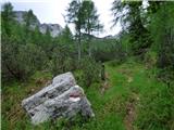 44
44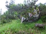 45
45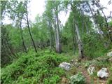 46
46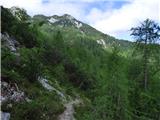 47
47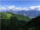 48
48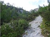 49
49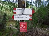 50
50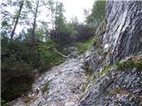 51
51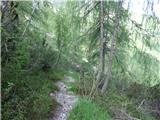 52
52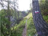 53
53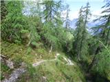 54
54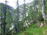 55
55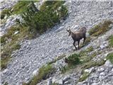 56
56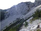 57
57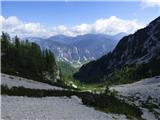 58
58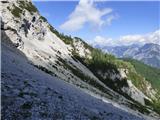 59
59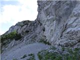 60
60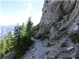 61
61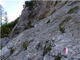 62
62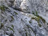 63
63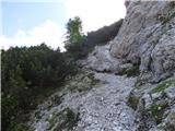 64
64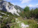 65
65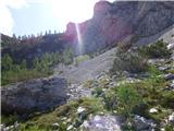 66
66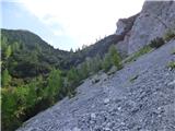 67
67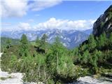 68
68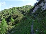 69
69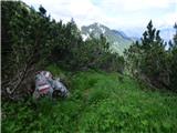 70
70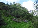 71
71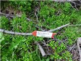 72
72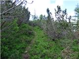 73
73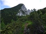 74
74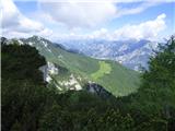 75
75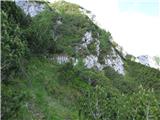 76
76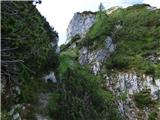 77
77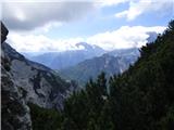 78
78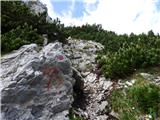 79
79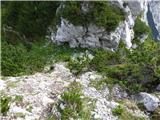 80
80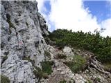 81
81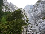 82
82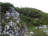 83
83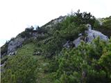 84
84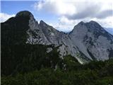 85
85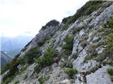 86
86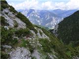 87
87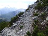 88
88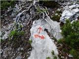 89
89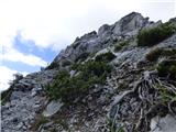 90
90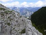 91
91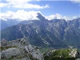 92
92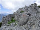 93
93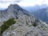 94
94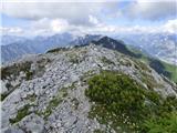 95
95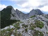 96
96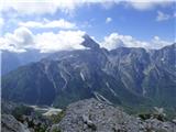 97
97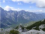 98
98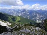 99
99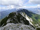 100
100