Starting point: Bavšica (698 m)
Starting point Lat/Lon: 46.3699°N 13.6299°E 
Time of walking: 5 h
Difficulty: difficult unmarked way
Difficulty of skiing: no data
Altitude difference: 1648 m
Altitude difference (by path): 1648 m
Map: Julijske Alpe - zahodni del 1:50.000
Access to starting point:
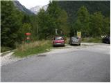
From the road Bovec - Predel at fortress Kluže an asphalt road into a valley Bavšica branches off to the right. We go on the mentioned road which we follow in a moderate ascent to the parking lot in Bavšica (parking lot is located next to TNP signs).
Path description:
From the parking lot, we go on the left rough road in the direction of the mountain hut Zavetišče pod Špičkom and mountain pasture Bala (right Bavški Grintavec) and we follow it a little less than 5 minutes to the spot, where blazes point us to the left on at first a wide footpath. The path soon narrows and it brings us to a smaller crossing, where blazes point us sharply right, on a gradually increasingly steep footpath. The path soon flattens and it brings us to abandoned village Logje (just few meters from the path there is a drinking water).
From the village Logje we continue on a marked footpath which continues on a gentle grassy slope. Further, the path is ascending a little steeper and passes on partly rocky terrain (scree overgrown with high grass). The path then again flattens and passes into a dense forest, where it then continues all the way to an abandoned mountain pasture Bala.
From the mountain pasture, we still continue on a marked path, which then through a lane of a forest brings us to the last well by the path. Only few 10 meters after a well, we notice a hunting cottage Bala, between the trough with water and hunting cottage, on the left side we look for well visible footpath which leads on Briceljk (at the beginning of the path, we notice on a tree a faded sign Briceljk). Even though we will at the beginning noticed some faded blazes (rare are also higher) path ahead isn't marked.
From the hunting cottage path passes into a dense forest and it is with the exception of the gentle part at the beginning, relatively steeply ascending. The path higher turns a little to the left and passes out of the forest on steep slopes with high grass, over which we are ascending on occasionally poorly visible footpath. Very steep and mainly in wet for slipping dangerous path, higher few more times crosses a short lane of a forest and then it slightly flattens and passes into a small valley Med vrhovi (valley west from Stador (2015 m). Higher high grass is gradually changed by stones, and the path on a smaller indistinct saddle turns quite to the left and passes on the scree, where the footpath for a short time entirely vanishes. Over the scree we continue towards the gable of the valley, then we get to short jump, over which we ascend on rugged rocks. Jump ends with short exposed passing, and then the path passes on steep grassy slopes, where it turns a little more to the left. The path ahead leads us on an indistinct small valley, through which in few minutes we ascend to a steep groove, which is late in the summer covered with snow. Usually it is in the middle of the summer already possible passage by the side crack, where on rugged rocks we ascend to the top of the groove (because of the substantial steepness in the goove there's a high risk of falling stones). On the top of the groove, we continue right and then after few minutes of additional walking, we step on the highest peak of Loška stena.
Pictures:
 1
1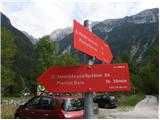 2
2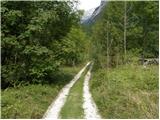 3
3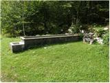 4
4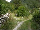 5
5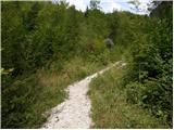 6
6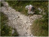 7
7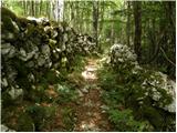 8
8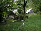 9
9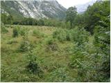 10
10 11
11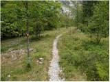 12
12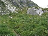 13
13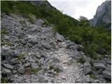 14
14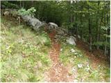 15
15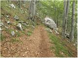 16
16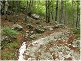 17
17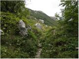 18
18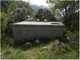 19
19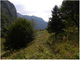 20
20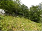 21
21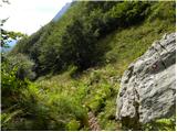 22
22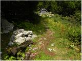 23
23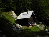 24
24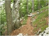 25
25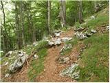 26
26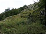 27
27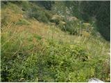 28
28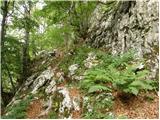 29
29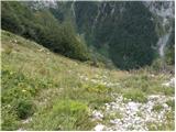 30
30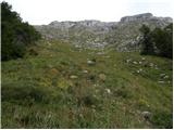 31
31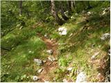 32
32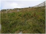 33
33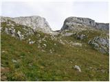 34
34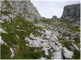 35
35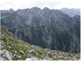 36
36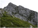 37
37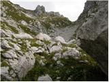 38
38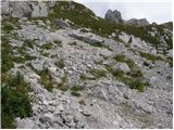 39
39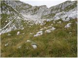 40
40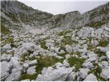 41
41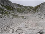 42
42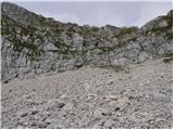 43
43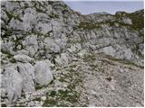 44
44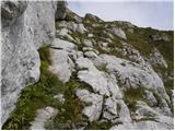 45
45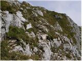 46
46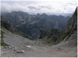 47
47 48
48