Belopeška jezera - Visoka Ponca (ferrata)
Starting point: Belopeška jezera (929 m)
Starting point Lat/Lon: 46.4733°N 13.6713°E 
Path name: ferrata
Time of walking: 4 h
Difficulty: very difficult marked way
Difficulty of skiing: no data
Altitude difference: 1345 m
Altitude difference (by path): 1350 m
Map: Julijske Alpe - zahodni del 1:50.000
Access to starting point:
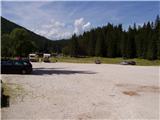
From Kranjska Gora over the border crossing Rateče we drive towards Trbiž / Tarvisio. Already after few kilometers after the border crossing in the settlement Fusine / Fužine road branches off to the left in the direction of lakes Belopeška jezera / Laghi di Fusine, which in few minutes of a moderate ascent brings us to a large parking lot at lake Zgornje Mangartsko (Belopeško) jezero. We park there.
Path description:
From the parking lot, we continue on the left side of the inn in the direction of the mountain hut Zacchi. The path at first runs on the forest road which after few minutes we leave because blazes point us to the left on a wide cart track (it is also possible to continue on the forest road; this variant is slightly longer). Cart track, on which we walk, a little higher turns into a footpath. Relatively wide and well-marked, and in parts quite rocky path then in a moderate ascent through the forest in good hour of walking from the starting point brings us to the mountain hut Zacchi.
Before or below the mountain hut we find sign "Ponza di Mezzo, Ponza Grande", which mark beginning of the path towards Ponce. The path at first crosses torrential riverbed, and then it is ascending through steep dwarf pines, all the time slightly to the right, below the steep mountain walls of Ponce. Higher brings us to first steel cables. Here the path turns a little to the left, few times we quite steeply ascend by the steel cable. When we get very close to the walls below Visoka Ponca, the path leads to the right, and in doing so, we cross wide torrent gully. Next follows a shorter steep ascent right from a gully, which brings us to a crossing. Right (a sign "Ponza di Mezzo") path branches off, which leads on Visoka Ponca on a little easier path (via normale) and on Srednja Ponca and we go on the left, very demanding climbing path (ferrata).
We continue ascending right from the gully, partly through steep slope of Srednja Ponca, partly over rock bands. When we again cross gully, this time of course to the left, we are standing at the entrance in ferrata.
The most difficult spot is immediately at the beginning: first some ten altitude meters we climb on vertical groove, whereupon follows an exposed traverse towards the left. Immediately after traverse terrain flattens a little, we are nicely winding on passages, in parts we get help from a steel cable or temporary rope, and over one shorter section a ladder.
In upper part ferrata entirely flattens, steel cables are gone, unfortunately also blazes are mostly gone. In parts we get help from cairns. Orientation otherwise in this part isn't demanding, if visibility is good. In moderately steep ascent on gravel terrain we soon reach the peak.
Pictures:
 1
1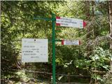 2
2 3
3 4
4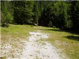 5
5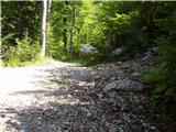 6
6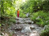 7
7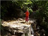 8
8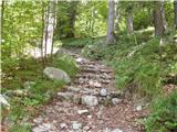 9
9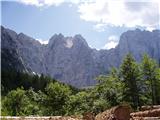 10
10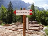 11
11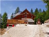 12
12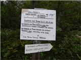 13
13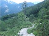 14
14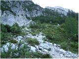 15
15 16
16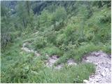 17
17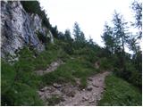 18
18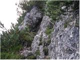 19
19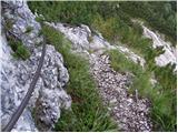 20
20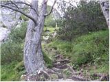 21
21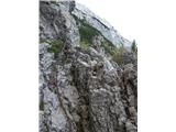 22
22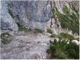 23
23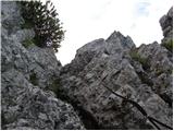 24
24 25
25 26
26 27
27 28
28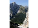 29
29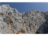 30
30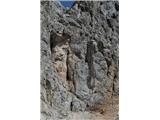 31
31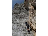 32
32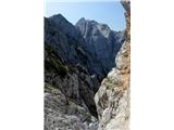 33
33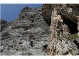 34
34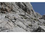 35
35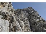 36
36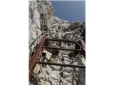 37
37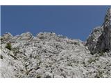 38
38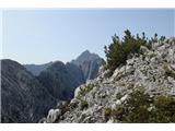 39
39 40
40 41
41