Beltinci - Gravel pit Dokležovje
Starting point: Beltinci (177 m)
Starting point Lat/Lon: 46.60777°N 16.23387°E 
Time of walking: 1 h 15 min
Difficulty: easy marked way
Difficulty of skiing: no data
Altitude difference: 5 m
Altitude difference (by path): 12 m
Map: Pomurje 1:40.000
Access to starting point:
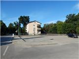
We leave Pomurska highway at exit Lipovci, and then we follow the signs for Beltinci. When we get to Beltinci after the store Mercator we turn right, and then we park on a parking lot between the store and castle Beltinški grad.
Path description:
From the parking lot, we walk to the nearby castle, where we notice the first blazes. We continue right on a macadam road which leads us on the northern side of the castle, and at the nearby pond we go left. The path ahead leads us through a park, and on the right we notice the stadium of football field of football club Beltinci. When we reach another macadam road we go right, and at the next crossroad, where we for some time step on the asphalt, we go left on a macadam road, by which blazes continue. The path ahead leads us towards the southwest, and after some time it turns right and it brings us on a poorly marked crossroad. From the crossroad, we go left and we again continue towards the southwest. At the transformer we reach an asphalt road, where blazes point us to the right (left - Ižakovci). Few minutes ahead we cross a railway track, and then we get to the settlement Dokležovje, where from the roundabout we continue left. Over the bridge we cross Kapusnjek, and then Dokležovje ends. The path ahead leads us by the edge the main road towards Veržej, and on the right we soon notice pond Taškal, to which we descend on a cart track.
From the pond, we return to the main road, and then we continue walking towards the south. After a little less than 5 minutes of additional walking, the first path branches off to the left towards the gravel pit Dokležovje, and few minutes ahead also the second. Gravel pit is located only few 10 strides from the main road.
Beltinci - Ribnik Taškal 1:10, Ribnik Taškal - Gravel pit Dokležovje 0:05.
Description and pictures refer to a condition in July 2021.
Pictures:
 1
1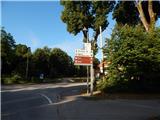 2
2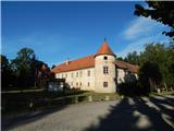 3
3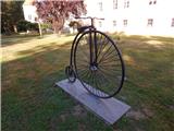 4
4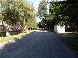 5
5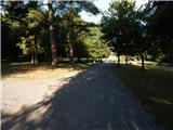 6
6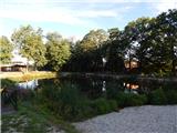 7
7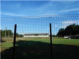 8
8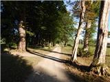 9
9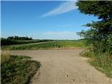 10
10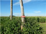 11
11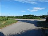 12
12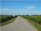 13
13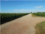 14
14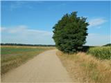 15
15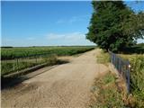 16
16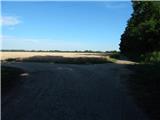 17
17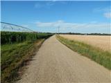 18
18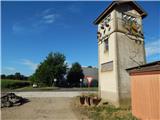 19
19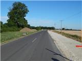 20
20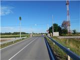 21
21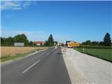 22
22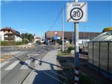 23
23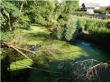 24
24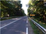 25
25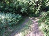 26
26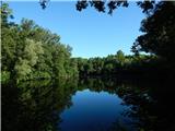 27
27 28
28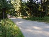 29
29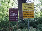 30
30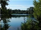 31
31