Bitenjska planina - Planina Pečana
Starting point: Bitenjska planina (919 m)
Starting point Lat/Lon: 46.2731°N 14.0333°E 
Time of walking: 1 h 50 min
Difficulty: easy marked way
Difficulty of skiing: no data
Altitude difference: 553 m
Altitude difference (by path): 570 m
Map: Škofjeloško in Cerkljansko hribovje 1:50.000
Access to starting point:
We drive to Bohinjska Bistrica and continue driving towards Soriška planina. After a few kilometers of ascent we arrive at a crossroad, where the road towards Soriška planina branches off sharply to the right, and we continue straight in the direction of Železniki and Škofja Loka. Further, we drive for approximately 1 km, and then we arrive at a smaller crossroad, where a road towards Ribčeva planina branches off to the right. At the crossroad, there are signs for Ribčeva planina and Ratitovec. We park a few meters before the crossroad on a macadam parking lot.
Path description:
From the parking lot, we first walk to the nearby crossroad, by which we notice the first signs for Ratitovec.
We continue right on the road in the direction of Ratitovec, and at first the still asphalt road quickly leads us into a dense forest. We walk approximately 10 minutes on the mentioned road, and then the blazes direct us slightly to the left onto a marked footpath, which continues on a grassy cart track, and this one by the stream Bitenjski graben. Higher up, we return to the road, which we reach right at the smaller crossroad. We continue on the upper right road, on which we quickly arrive at Ribčeva planina.
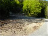
From Ribčeva planina we continue on the road, which a little higher brings us to a crossroad, where we continue right. From the crossroad, we walk on the road for approximately 2 minutes, and then signs for the footpath to Ratitovec direct us to the left onto a marked cart track, which higher changes into a somewhat steeper mountain path, which soon crosses a forest road and flattens behind it. On the other side of the road, we continue on the cart track, and then we quickly leave it as the blazes direct us to the right onto a forest path, which at first still moderately ascends, then gradually descends to the nearby forest road, which we follow to the left. We continue the ascent on the road, and we walk along it in a few minutes to its end, where there is a larger parking lot and turning area.
From the parking lot, we continue on a wide cart track, which starts relatively steeply ascending through the forest. After approximately 10 minutes of walking, the cart track flattens, then a little further it brings us to the cottages on Planina Pečana.
Pictures:
 1
1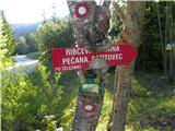 2
2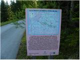 3
3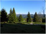 4
4 5
5 6
6 7
7 8
8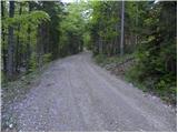 9
9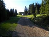 10
10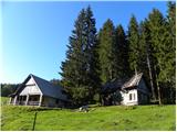 11
11 12
12 13
13 14
14 15
15 16
16 17
17 18
18 19
19 20
20 21
21 22
22 23
23 24
24 25
25 26
26 27
27 28
28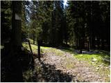 29
29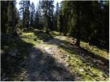 30
30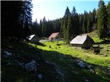 31
31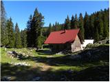 32
32 33
33