Bokrači (belfry) - Trestenjak
Starting point: Bokrači (belfry) (325 m)
Starting point Lat/Lon: 46.74761°N 16.20832°E 
Time of walking: 18 min
Difficulty: easy unmarked way
Difficulty of skiing: no data
Altitude difference: -21 m
Altitude difference (by path): 30 m
Map: Pomurje 1:40.000
Access to starting point:
We drive to Musrka Sobota, and then we follow the signs for Hodoš. Still on the flat part of Prekmurje signs for Sebeborci point us to the right, and still before Sebeborci signs for Bokrači and Krnci point us to the left. A little further, we go left towards Bokrači (straight Krnci) and we gradually start ascending. We continue driving through the entire Bokrači, and we park on a parking lot at the belfry, where on the left road already starts the settlement Kukeč.
Path description:
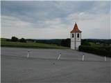
From the belfry we go on the road which continues towards the south, and after few 10 meters it brings us to an unmarked crossroad, where we go on the left road. Next follows some descent among the fields, and when the road turns left, we continue straight on a macadam road. Next follows a walk on a worse macadam road, and when after few minutes we reach the village Krnci the road widens a little. At the nearby crossroad, we continue in the direction of the cemetery Krnci, and in few minutes of additional walking on a cart track we reach the peak Trestenjak, where there is the mentioned cemetery.
Description and pictures refer to a condition in June 2021.
Pictures:
 1
1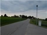 2
2 3
3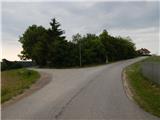 4
4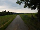 5
5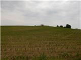 6
6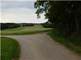 7
7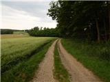 8
8 9
9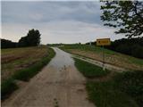 10
10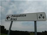 11
11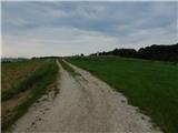 12
12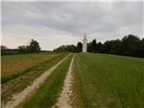 13
13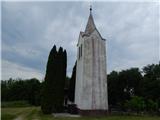 14
14