border crossing Kramarovci - Beli breg
Starting point: border crossing Kramarovci (269 m)
Starting point Lat/Lon: 46.80655°N 15.99797°E 
Time of walking: 25 min
Difficulty: easy unmarked way
Difficulty of skiing: no data
Altitude difference: 77 m
Altitude difference (by path): 77 m
Map:
Access to starting point:
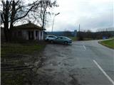
We drive to Rogašovci, and then we go on the road in the direction of Kramarovci, and then we continue towards Austria. We park on the Slovenian side of the border crossing at the former border building.
Path description:
From the parking lot, we return on the road to Kramarovci, and at the first crossroad we continue straight (left - Ocinje), and then we gradually start ascending. At the fire station we leave the road towards Rogašovci and we continue left, where on the left side we bypass a fire station.
Behind the fire station the path leads us on a cart track which is gently to moderately ascending on a grassy slope. Higher at the smaller crossing, we go left, and the nearby cottage we bypass on the right side. Next follows steep ascent by the fence, and at the crossing a little below the summit we go right, and then we quickly reach panoramic Beli breg.
Description and pictures refer to a condition in January 2023.
Pictures:
 1
1 2
2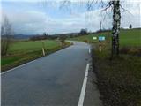 3
3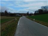 4
4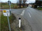 5
5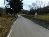 6
6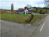 7
7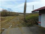 8
8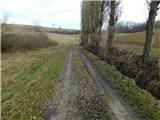 9
9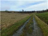 10
10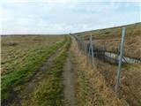 11
11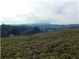 12
12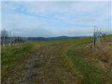 13
13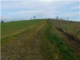 14
14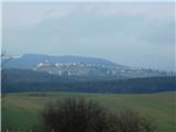 15
15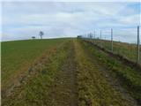 16
16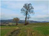 17
17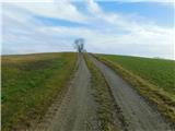 18
18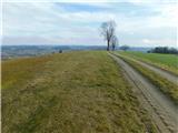 19
19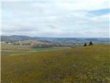 20
20