border crossing Matjaševci - Holzmannkogel
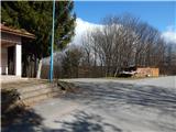
Starting point: border crossing Matjaševci (350 m)
Starting point Lat/Lon: 46.85746°N 16.0861°E 
Time of walking: 1 h 15 min
Difficulty: easy marked way
Difficulty of skiing: no data
Altitude difference: 43 m
Altitude difference (by path): 120 m
Map: Pomurje 1:40.000
Access to starting point:
A) From the road Gorenji Petrovci - Kuzma, after the settlement Dolič we turn right towards Matjaševci. In Matjaševci we turn left in the direction of Austria and Tromejnik - Vinska turistična cesta Tromejnik (straight Trdkova and Tromejnik - Gozdna učna pot Tromejnik) and we drive to the border crossing Matjaševci, where we park.
B) We drive into the center of Kuzma, where at the roundabout we take the exit in the direction of Tromejnik. At the next crossroads, we follow the signs for Tromejnik; when we get to the border crossing Matjaševci we park at an appropriate place.
Path description:
From the starting point, we go on the road, by which there are signs for Tromejnik. At first, we still walk on asphalt, and soon we go straight on a macadam road which still runs on the national border. A worse road, or marked cycling path has further some crossroads, and we follow Slovenian or Austrian blazes and border stones. After a while follows a somewhat steeper descent, where we reach a narrower asphalt road, and then we quickly get to the inn Gasthaus Lang Zum Dreiländereck.
We bypass the guesthouse on the right side, and we still continue walking on the national border. Further, the road again becomes macadam; temporarily some views open towards Austria, where we mainly see only nearby hills. The path, which continues with some shorter ascents and descents on the national border, we follow to a marked junction, where we continue left in the direction of signs for Oberdrosen, Neumarkt and Weichselbaum and we start descending on a worse road. After a short descent, we reach a junction on the saddle between Tromejnik and Holzmannkogel, where we walk to a smaller shelter. At the shelter we go right on a cart track which continues through the forest and in a few minutes brings us to the hunting cottage.
At the hunting cottage, we leave the cart track and we bypass the cottage on the right side, and then we continue on an indistinct southwestern ridge of peak Holzmannkogel, where we follow rare blazes, but there are no more beaten paths further. We follow this path to the peak a few minutes away.
Description and pictures refer to the condition in March 2021 and February 2023.
On the way: Gasthaus Lang Zum Dreiländereck (341m)
Pictures:
 1
1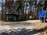 2
2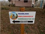 3
3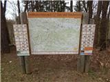 4
4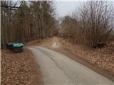 5
5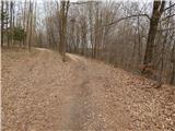 6
6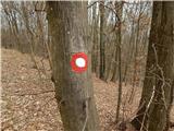 7
7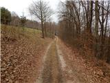 8
8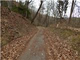 9
9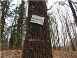 10
10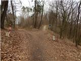 11
11 12
12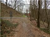 13
13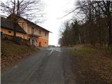 14
14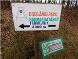 15
15 16
16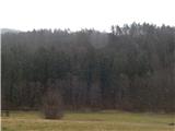 17
17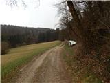 18
18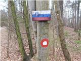 19
19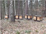 20
20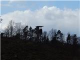 21
21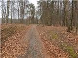 22
22 23
23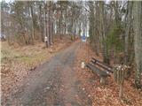 24
24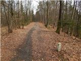 25
25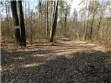 26
26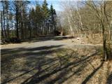 27
27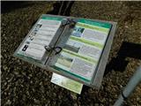 28
28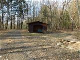 29
29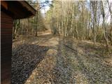 30
30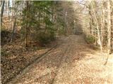 31
31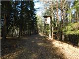 32
32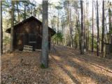 33
33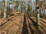 34
34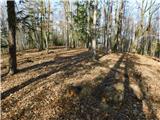 35
35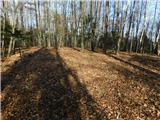 36
36 37
37