Brda - Sveta Magdalena (Brda)
Starting point: Brda (551 m)
Time of walking: 40 min
Difficulty: easy marked way
Difficulty of skiing: no data
Altitude difference: 167 m
Altitude difference (by path): 167 m
Map: Pohorje 1:50.000
Access to starting point:
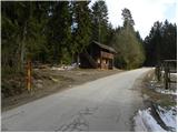
A) From the Ljubljana - Maribor highway, take the Žalec exit, then continue driving towards Velenje. At the main roundabout in Velenje, continue right and proceed towards Slovenj Gradec and Dravograd. Just before Slovenj Gradec, precisely at Turiška vas, turn right and drive on the local road to the center of Turiška vas. Here, continue on the main road, which turns right, then over the bridge across the Mislinja River it takes us to Brda. After the bridge, continue right, then the road enters the forest, where it begins to ascend gradually. In the section of the path where the road runs through the forest, park at a suitable spot beside the road (there are no suitable parking spots higher up).
B) From Koroška, first drive to Slovenj Gradec, then continue towards Velenje. Just after Slovenj Gradec, precisely at Turiška vas, turn left and drive on the local road to the center of Turiška vas. Here, continue on the main road, which turns right, then over the bridge across the Mislinja River it takes us to Brda. After the bridge, continue right, then the road enters the forest, where it begins to ascend gradually. In the section of the path where the road runs through the forest, park at a suitable spot beside the road (there are no suitable parking spots higher up).
Path description:
From the starting point we continue along the road beside which we parked, which after a few minutes brings us to a small intersection, where we continue left towards the homesteads Merkač, Orter and Pegan. A little further on, when we reach a small hamlet of a few houses, we continue along the upper right road, beside which a little higher we notice the first blazes (signs of the European footpath E6 Baltic - Adriatic). Here we continue right onto a cart track, which first ascends along the edge of the forest, then transitions to fields and meadows. Across the meadow we walk along a poorer cart track, and higher up the path brings us to a forest road, which we merely cross as we continue the ascent along the marked footpath. Orientation further on is much easier, as we are accompanied by quite frequent and well-visible blazes. A little higher we cross a macadam road once again, and the path enters a dense forest, which ends at a hunting observatory. This is followed by an ascent across a panoramic grassy hay meadow, and the path quickly brings us to a solitary farm, where we step onto the road. We continue along the road, which after a few minutes brings us to a marked intersection by a chapel.
Here we continue right and in less than 5 minutes of further walking we arrive at the church of St. Magdalene.
Pictures:
 1
1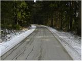 2
2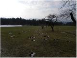 3
3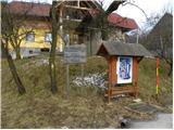 4
4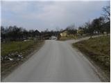 5
5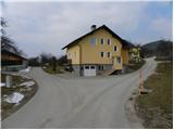 6
6 7
7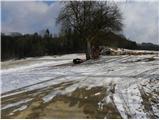 8
8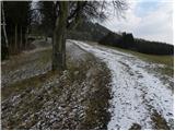 9
9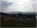 10
10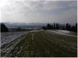 11
11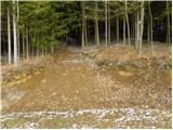 12
12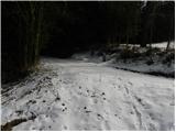 13
13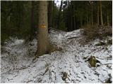 14
14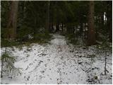 15
15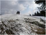 16
16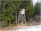 17
17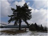 18
18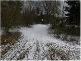 19
19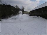 20
20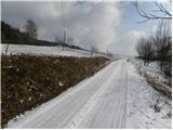 21
21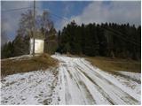 22
22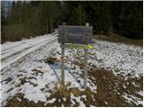 23
23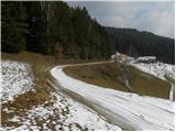 24
24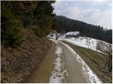 25
25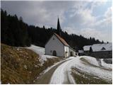 26
26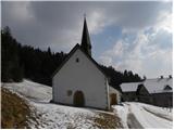 27
27