Breginj - Bivak pod Muzcem
Starting point: Breginj (550 m)
Starting point Lat/Lon: 46.262°N 13.4259°E 
Time of walking: 2 h 45 min
Difficulty: partly demanding marked way
Difficulty of skiing: no data
Altitude difference: 1000 m
Altitude difference (by path): 1070 m
Map: Julijske Alpe - zahodni del 1:50.000
Access to starting point:
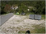
First, we drive to the center of Kobarid, and then we continue driving towards the border crossing Robič. Near the village Staro selo, we leave the main road which runs towards the border crossing Robič and we continue driving right in the direction of Breginj. Further, we follow a mainly ascending road to Breginj, where we park on a parking lot near the church.
Path description:
From the parking lot, we continue past the church (we bypass it on the right side) and we continue the ascent on an asphalt road in the direction of Stol and Muzec. The road at first ascends through the village, at the crossroads we follow it in an already known direction. Higher, the road loses an asphalt covering and past an old mill brings us to a marked crossroad, where we continue slightly right (left church of Marija Snežna). The road which continues to moderately ascend, soon brings us to a marked crossing, where a marked footpath on Muzec (Musc) branches off to the left.
We go on the mentioned path, which is further moderately ascending through the forest. Further, the path brings us to a smaller well (source with a drinking water), and then turns a little to the left and starts ascending steeper. Higher, the path flattens and it brings us to a smaller crossing, where we continue right (straight Plazi). The path ahead again starts ascending steeper through the forest and then it brings us on a sharp and crumbly ridge. On the mentioned ridge leads an exposed footpath, over which in few minutes we pass into a lane of a forest. When we step out of the forest, the path brings us on grassy slopes, where in few minutes of additional walking, we get to a marked crossing.
We continue left (slightly right Klatnica - source of drinking water) on a steeper mountain path. The path higher passes on a panoramic and very steep side ridge, on which we are then ascending for quite some time. Higher, we come to a smaller unmarked crossing, where we continue on the left less steep path (right very steep path leads directly on Muzec). The left path then ascends diagonally and past a smaller abyss brings us on the main ridge of Muzec. Here we continue left (right Muzec) and after few 10 strides of additional walking, we get to the bivouac below Muzec.
Pictures:
 1
1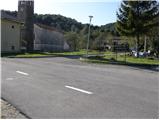 2
2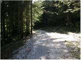 3
3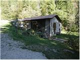 4
4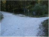 5
5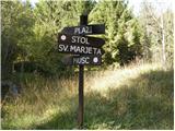 6
6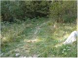 7
7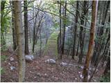 8
8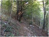 9
9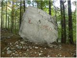 10
10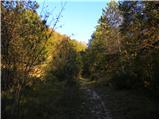 11
11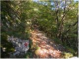 12
12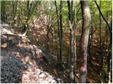 13
13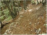 14
14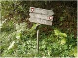 15
15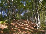 16
16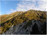 17
17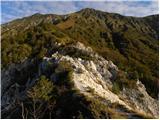 18
18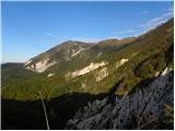 19
19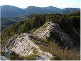 20
20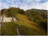 21
21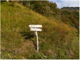 22
22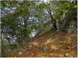 23
23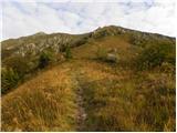 24
24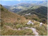 25
25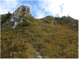 26
26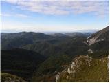 27
27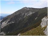 28
28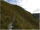 29
29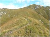 30
30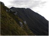 31
31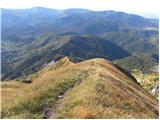 32
32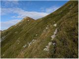 33
33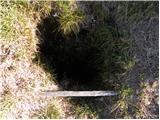 34
34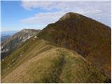 35
35 36
36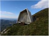 37
37