Breznica - St. Lovrenc on Lovrenška gora
Starting point: Breznica (680 m)
Starting point Lat/Lon: 46.1572°N 14.2687°E 
Time of walking: 25 min
Difficulty: easy marked way
Difficulty of skiing: easily
Altitude difference: -100 m
Altitude difference (by path): 20 m
Map: Škofjelološko in Cerkljansko hribovje 1:50.000
Access to starting point:
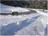
First, we drive to Škofja Loka and from there we continue driving in the direction of Gorenja vas. In the village Podpulfrca (which is located immediately after Škofja Loka) we leave the main road and go right in the direction of village Breznica and Gabrovo (by the road is also a sign for mountain hut Koča na Lubniku). We then follow the ascending road past the turn-off for village Gabrovo to a larger meadow, where the road makes a little longer right turn. And at the beginning of this turn, a road branches off to the left, which leads towards the church of St. Lovrenc. We park on one of the smaller parking lots near the crossroad.
Path description:
From the crossroad, we go on a slightly ascending road in the direction of St. Lovrenc (Sveti Lovrenc). The road goes after the initial ascent in the forest and it brings us to a crossroad, where we continue left on the bottom road. The road then in a moderate descent with nice views on surroundings brings us to the farm Mežnar.
From Mežnar we continue on the road, but only to the right turn, because right there a wide footpath branches off, which after 5 minutes of additional walking brings us to the church of St. Lovrenc.
From the church, we can extend the trip also to the nearby Lovrenška gora to which we can ascend on an unmarked footpath in 5 minutes of additional walking. And the path to the top, which doesn't offer any view is occasionally quite overgrown.
Pictures:
 1
1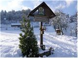 2
2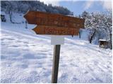 3
3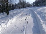 4
4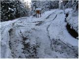 5
5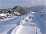 6
6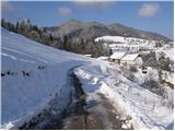 7
7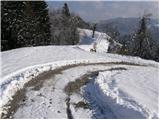 8
8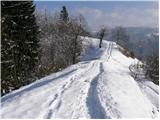 9
9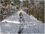 10
10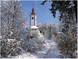 11
11 12
12