Brod na Muri (Sladki Vrh) - Beli vrh
Starting point: Brod na Muri (Sladki Vrh) (228 m)
Starting point Lat/Lon: 46.69577°N 15.71885°E 
Time of walking: 30 min
Difficulty: easy marked way
Difficulty of skiing: no data
Altitude difference: 127 m
Altitude difference (by path): 140 m
Map:
Access to starting point:
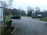
Highway Maribor - Graz we leave at exit Šentilj, after that at the crossroad in Šentilj we continue straight towards Sladki Vrh, and from the nearby roundabout we also follow the signs for Sladki Vrh. When we get to river Mur we turn from the main road sharply left and we park on a parking lot at ferryboat Brod na Muri.
Path description:
From the end of the parking lot, we continue slightly left and we walk to the pond, which we cross over the bridge. On the other side of the pond, we on the right side bypass the cottage of Fishing family Mura Paloma, and still before we reach the main road we go right on an ascending asphalt path. After a short ascent on the asphalt road, we descend past few houses, and when it gets closer to the main road we go slightly right on a marked path which starts ascending through the forest. Through the forest, we carefully follow the blazes, and higher the path flattens and brings us on an indistinct ridge, where we get to the nearby house. We continue by the yard of the nearby house (at the passage through the yard there is a warning, for dangerous dog), and behind the house we descend on the road to the left turn. When the road turns left, we go slightly right on a marked cart track which at first leads through the forest and then past an older house brings us to the hunting observatory, where we leave the forest. Next follows an ascent among the fields, and when we reach the road we are already on Beli vrh.
Description and pictures refer to a condition in December 2022.
Pictures:
 1
1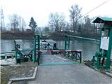 2
2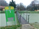 3
3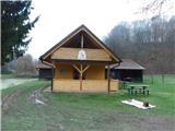 4
4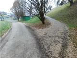 5
5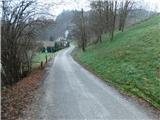 6
6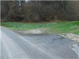 7
7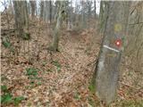 8
8 9
9 10
10 11
11 12
12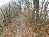 13
13 14
14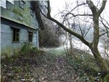 15
15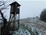 16
16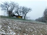 17
17