Brzika - Donačka gora (eastern peak) (on ridge)
Starting point: Brzika (380 m)
Starting point Lat/Lon: 46.2672°N 15.71248°E 
Path name: on ridge
Time of walking: 2 h 5 min
Difficulty: partly demanding marked way
Difficulty of skiing: no data
Altitude difference: 503 m
Altitude difference (by path): 570 m
Map:
Access to starting point:
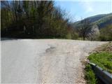
A) We drive to Rogaška Slatina, and then we continue driving towards Rogatec. In Rogatec at the roundabout we go to the exit "left" in the direction of Ptuj, and then we drive on the main road to mountain pass Brzika, where we notice red hiking signposts, by which we park on an appropriate place.
B) We drive to Majšperk, and then we follow the signs for Stoperce on Rogatec. After Stoperce the road starts ascending steeper, and we follow it to mountain pass Brzika, where we notice red hiking signposts, by which we park on an appropriate place.
Path description:
From the starting point, we go on a macadam road which from the starting point branches off towards the east and by which there are signs for Rudijev dom and Donačka gora. A short time we walk on a macadam road, and before the road lightly descends to the nearby house we go slightly left on a cart track which ascends diagonally by the edge of the meadow. A little further, we continue on the lower cart track, by which there are signs for Rudijev dom, and then along the grazing fence we ascend to a smaller saddle, which is connecting Gaj (454 meters) and Ženčaj (582 meters).
On the saddle, we go right and we walk to a wider macadam road which we follow to the left. The path ahead leads us on a macadam road which is mostly gently to moderately ascending, only on a shorter part for some time descends a little. Higher, the road turns right and then it brings us to a crossroad, where we go sharply left following the signs for Rudijev dom. Next follows few minutes of a diagonal ascent through the forest, and when we leave the forest, we go right and on a poorly beaten footpath which leads us through a meadow, we ascend to the hunting observatory, which is situated on a saddle, which is connecting Donačka gora and Ženčaj.
Here the path turns a little to the left and it ascends diagonally, and at the nearby house, the path widens into a forest road, on which we continue to few minutes distant mountain hut Rudijev dom.
From the mountain hut Rudijev dom we continue left in the direction of the peak Donačka gora (right - Sveti Jurij, Rogatec and source of Sotla) and at first, we walk on a macadam road, and from there we soon go right in the direction of the easier path on Donačka gora (straight - demanding path on Donačka gora and Žetale).
The path ahead is at first moderately ascending through the forest, and after few minutes it passes on steep slopes and also becomes steeper. Further, we are ascending on settled mountain path, which is ascending in numerous zig-zags. Higher, we go past memorial plates in the memory of Ernst Froelich, who in the year 1853 made the path on Donačka gora, which was the first marked path in Slovenia. After the memorial plate follows few minutes of ascent on northwestern slope of Donačka gora, and then we reach the ridge, where we go left. Follows an ascent on and by the forested ridge and in few minutes we reach the higher, western peak of Donačka gora.
From the western peak, we continue on a marked ridge path in the direction towards Žetale. After a short descent, the path avoids the ridge slightly to the right side, and then continues with some shorter ascents and descents, and occasionally the path runs on a quite steep slope, where mainly in wet there is a greater danger of slipping. After approximately 20 minutes of walking on and by the ridge we get to a marked crossing, where demanding path branches off to the left towards Žetale and Kupčinji Vrh, and we continue straight and after few 10 strides of additional walking, we get to the precipitous eastern peak of Donačka gora.
Brzika - Rudijev dom 1:00, Rudijev dom - western peak of Donačka gora 0:45, western peak of Donačka gora - eastern peak of Donačka gora 0:20.
Description and pictures refer to a condition in April 2022.
Pictures:
 1
1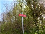 2
2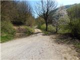 3
3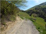 4
4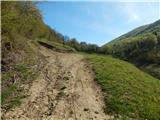 5
5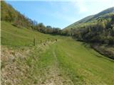 6
6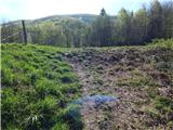 7
7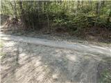 8
8 9
9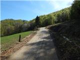 10
10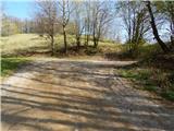 11
11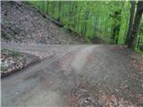 12
12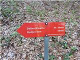 13
13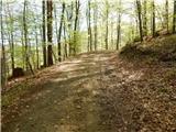 14
14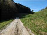 15
15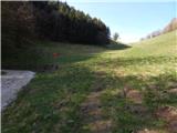 16
16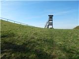 17
17 18
18 19
19 20
20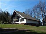 21
21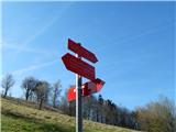 22
22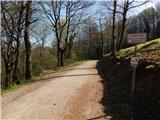 23
23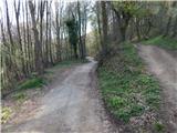 24
24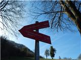 25
25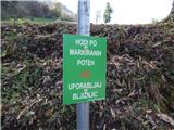 26
26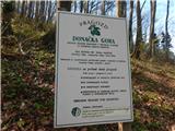 27
27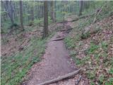 28
28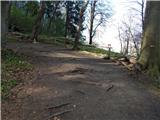 29
29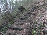 30
30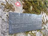 31
31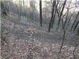 32
32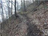 33
33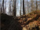 34
34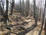 35
35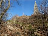 36
36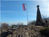 37
37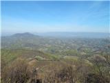 38
38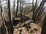 39
39 40
40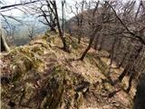 41
41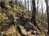 42
42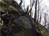 43
43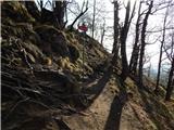 44
44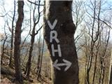 45
45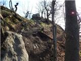 46
46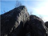 47
47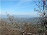 48
48