Cerkno - Veliki vrh (Lajše)
Starting point: Cerkno (324 m)
Starting point Lat/Lon: 46.1261°N 13.9839°E 
Time of walking: 2 h
Difficulty: easy marked way
Difficulty of skiing: no data
Altitude difference: 557 m
Altitude difference (by path): 600 m
Map: Škofjeloško in Cerkljansko hribovje 1:50.000
Access to starting point:
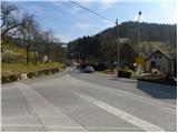
From the road Idrija - Tolmin we drive to Cerkno, where we park on one of the parking lots in the center, or periphery of the town.
Path description:
From Cerkno we continue on the main asphalt road towards Škofja Loka. We some time walk on or by the main road, by which we notice few of rare blazes. And after approximately 20 minutes of not very safe walking (because we walk on winding and occasionally also quite busy main road), the road makes first sharp left turn. Just before the mentioned turn, blazes point us to the right on a side road, on which we get to a smaller hamlet. We walk past few houses, and then an asphalt is changed to a macadam, and we follow the road only few 10 strides, because then blazes point us left on ascending and marked cart track (to here also possible with a car, this shortens the path for a little less than 30 minutes, and at the same time we avoid walking on the main road).
On the cart track, we quickly ascend to the nearby meadow, and on its upper edge marked path turns right in the forest. Next follows few minutes of ascent through a dense forest and then we cross the forest road and we still continue the ascent on a marked path. Higher, we once again cross the road and few cart tracks, and then we get out of the forest, where we get to a smaller wooden cottage. Above the cottage cart track on which we walk turns to the left, and we leave it here and on at first steep grassy slope we ascend to the nearby homestead, where we step on the road. On the road, we walk only for a short time, and then blazes point us to the right on a wide cart track which higher splits into two parts. We continue on the left, which soon entirely flattens, and then in crossing the slopes towards the left brings us to a smaller hamlet. After the hamlet, from which a nice view opens up on surrounding hills, the cart track, or from here ahead worse road, starts moderately ascending and after few minutes of additional walking brings us to the center of the village Podlanišče, where there is a marked crossing.
From the marked crossing on Podlanišče we continue right on an asphalt road in the direction of Lajše, Bevkov vrh and Sivka. The path at first leads past houses, and behind them marked path on Bevkov vrh branches off to the left, and we go straight and we still continue on the asphalt road. The road then crosses a lane of a forest, after which we get to a panoramic grassy slope. With a view on Škofje, Porezen, Kojca and part of chain Spodnje Bohinjske gore, we walk past a smaller hamlet, and then the road brings us to the smaller crossroad, where we continue right downwards in the direction of shrine on Lajše.
We continue on the macadam road which starts moderately descending, and then when it crosses a lane of a forest it entirely flattens. Here another path branches off to the left on Bevkov vrh, and gentle road that runs through wide meadow quickly brings us to the next crossroad, where we continue right and then after few steps we get to a smaller church (shrine on Lajše), which is situated few 10 meters from the path.
From the shrine we continue on a slightly ascending road, and it brings us to the quarry, where we continue on the left road. The road quickly ascends above the quarry, and then it is slowly turning towards the right. This occasionally more panoramic road, we then follow all the way to the peak, and we reach it after few minutes of additional walking.
On the way: Kladje (787m), Svetišče na Lajšah (830m)
Pictures:
 1
1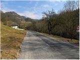 2
2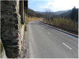 3
3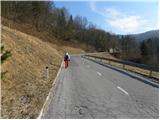 4
4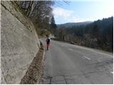 5
5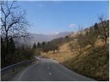 6
6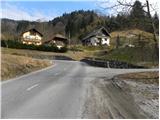 7
7 8
8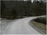 9
9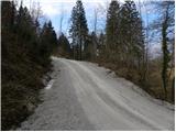 10
10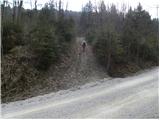 11
11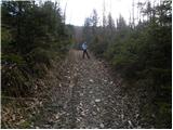 12
12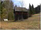 13
13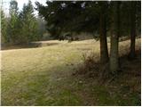 14
14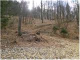 15
15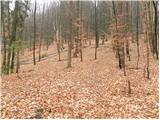 16
16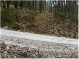 17
17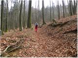 18
18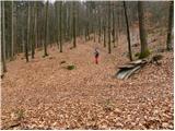 19
19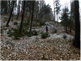 20
20 21
21 22
22 23
23 24
24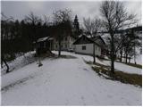 25
25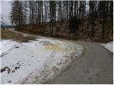 26
26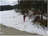 27
27 28
28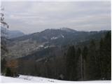 29
29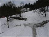 30
30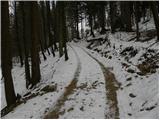 31
31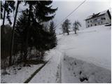 32
32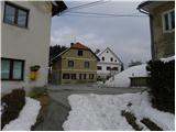 33
33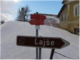 34
34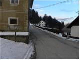 35
35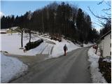 36
36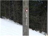 37
37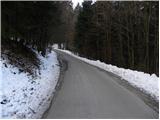 38
38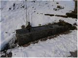 39
39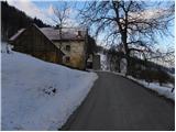 40
40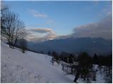 41
41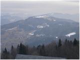 42
42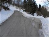 43
43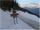 44
44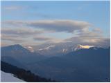 45
45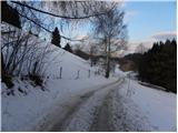 46
46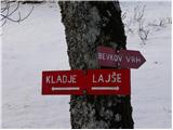 47
47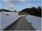 48
48 49
49 50
50 51
51 52
52 53
53 54
54 55
55 56
56 57
57 58
58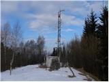 59
59 60
60