Starting point: Črnivec (902 m)
Starting point Lat/Lon: 46.2608°N 14.7024°E 
Time of walking: 1 h 30 min
Difficulty: easy marked way
Difficulty of skiing: no data
Altitude difference: 533 m
Altitude difference (by path): 550 m
Map: Kamniške in Savinjske Alpe 1:50.000
Access to starting point:
From Kamnik we drive towards Gornji Grad or vice versa. When we come on the mountain pass Črnivec we park on a parking lot by information boards. Parking in front of the nearby inn is only for guests.
Path description:
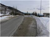
On the mountain pass, we look for mountain signposts for Vrh Kašne planine, which point us towards the north on a macadam road. After few 10 strides of walking on the road, we will notice the sign for area of water catchment and right next to it beginning of the footpath. The path at first leads over panoramic slope, because since strong wind on 13th July 2008 the forest is gone (at the area of Črnivec were in the year 2009 planted more than 50.000 seedlings, approximately one third of deciduous trees) on newly made path (because old was completely ruined) by which we notice numerous blazes.
Higher, we cross the forest road and then we continue the ascent on a relatively steep cart track. The path ahead for some time leads on slopes ruined by strong wind, and then when we again cross the forest road it gradually passes into old mostly conifer forest. Further, we are moderately ascending on a cart track, we cross some smaller wells and we again step on the forest road. Higher, the path for a short time entirely flattens, and then gradually starts ascending steeper and steeper. After a good hour of walking from the starting point, we step out of the forest on grassy slopes of Kranjska reber. The path which is in the lower part of a grassy slope surrounded by fern, higher ascends even a little steeper and brings us on the main ridge of Kranjska reber, where it flattens. From the spot, when we stepped on the ridge, to the top separates us only few 10 strides of easy walking.
On the way: Na križu (1238m)
Pictures:
 1
1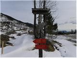 2
2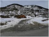 3
3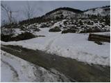 4
4 5
5 6
6 7
7 8
8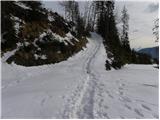 9
9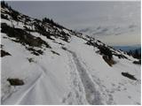 10
10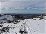 11
11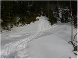 12
12 13
13 14
14 15
15 16
16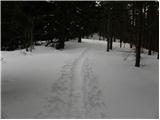 17
17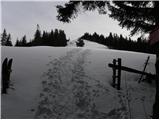 18
18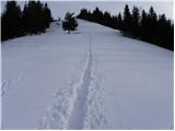 19
19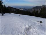 20
20 21
21 22
22 23
23 24
24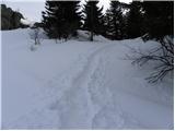 25
25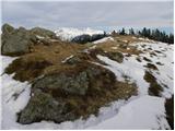 26
26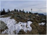 27
27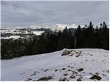 28
28