Deutschfeistritz - Schartnerkogel (via Gamskogel)
Starting point: Deutschfeistritz (420 m)
Starting point Lat/Lon: 47.19908°N 15.33172°E 
Path name: via Gamskogel
Time of walking: 3 h
Difficulty: easy marked way
Difficulty of skiing: no data
Altitude difference: 511 m
Altitude difference (by path): 690 m
Map: https://www.bergfex.at
Access to starting point:
Highway Maribor-Graz-Salzburg (A9) after few shorter tunnels outside Graz we leave and we continue right on the highway in the direction of Wien-Bruck/Muhr-Peggau.
We leave the highway at exit Peggau-Mitte and we continue right in the direction of Deutschfeistritz.
After approximately 800 meters we again turn right in the direction of Deutschfeistritz.
We get to the settlement Deutschfeitritz, we cross a railway track and at the next crossroad, we turn left and then immediately right (sign Tennishalle).
We drive on a narrower street and at the next crossing we turn right (sign Tennishalle). We get to the parking lot, where we park.
Path description:
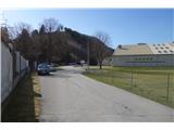
From the parking lot, we go in the direction of arrival back to the main road.
At the main road we go right. After approximately 450 meters we go right on a side road which at the beginning leads parallel with the main road.
After approximately 1 km we get to a crossing, where at the bridge over Königgrabenbach we notice the first trail blaze.
We go left over the bridge and then immediately right through the yard of a business building.
After the yard the path brings us into the forest. Follow numerous crossroads and multiple crossings of the gravel road. At all crossings we choose the marked path.
Towards the top of the hill Gamskogel, the path becomes steeper and steeper. In the vicinity of the summit also a view opens up towards the valley, whereupon we get to the top of Gamskogel.
From the top, we descend and we soon get to the natural attraction Bärenhöhle (bear's cave), where there are table and benches.
Then follows diverse terrain, we walk on the ridge little up and down, meanwhile a view opens up on one or the other side of the ridge.
Follows steeper descent and some more of a ridge path. After this we leave the ridge and we descend right downwards to the nearby forest road.
We continue on the road straight to the signpost for Schartnerkogel, where we leave the road and we go right on a footpath upwards.
We come to the road which we follow only to the spot, when it starts descending on the other side of the hill.
At this spot, we leave the road, we go right upwards and after 150 meters we get to the top.
Pictures:
 1
1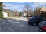 2
2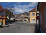 3
3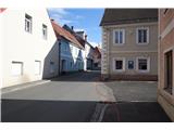 4
4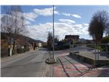 5
5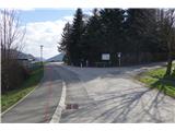 6
6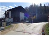 7
7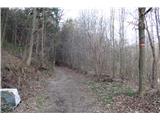 8
8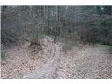 9
9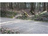 10
10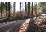 11
11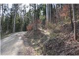 12
12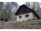 13
13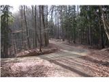 14
14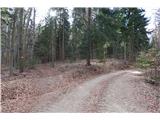 15
15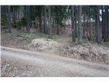 16
16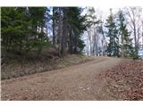 17
17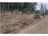 18
18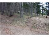 19
19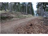 20
20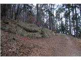 21
21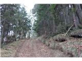 22
22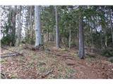 23
23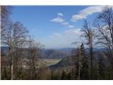 24
24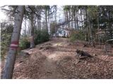 25
25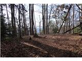 26
26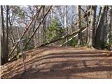 27
27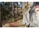 28
28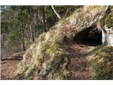 29
29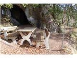 30
30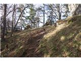 31
31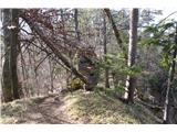 32
32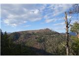 33
33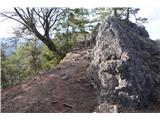 34
34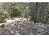 35
35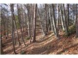 36
36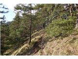 37
37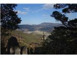 38
38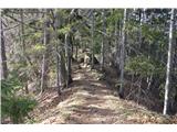 39
39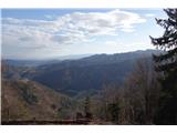 40
40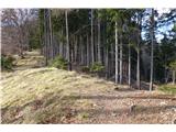 41
41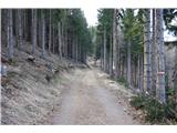 42
42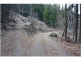 43
43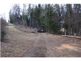 44
44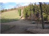 45
45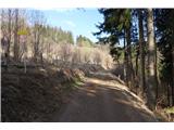 46
46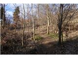 47
47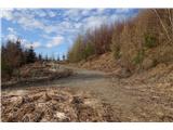 48
48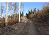 49
49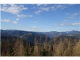 50
50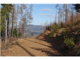 51
51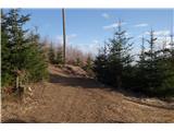 52
52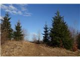 53
53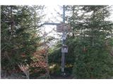 54
54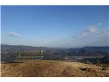 55
55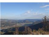 56
56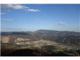 57
57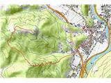 58
58