Döbriach - Breitwand (Luft unter den Sohlen)
Starting point: Döbriach (620 m)
Path name: Luft unter den Sohlen
Time of walking: 2 h
Difficulty: extremely difficult marked way
Ferrata: D/E
Difficulty of skiing: no data
Altitude difference: 262 m
Altitude difference (by path): 262 m
Map:
Access to starting point:
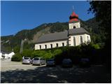
Through the Karawanks Tunnel, we drive on Tauern highway (highway which leads towards Salzburg), and we follow it to the settlement Pogöriach, where we leave the highway and we continue driving in the direction of the settlement Feistritz an der Drau. In the mentioned settlement through the underpass we cross a parallel old road Beljak / Villach - Spittal and we continue driving in the direction of the settlement Döbriach. The road then becomes a little more winding and past the settlement Glanz brings us to the lake Millstätter See, after which we get to the settlement Döbriach. Because right next to the wall it isn't allowed to park, from the main road we turn right in the center and we park on a parking lot at the church.
Path description:
From the church, we continue on the asphalt road from which we already see the mountain wall. The road leads us through the underpass and it slightly ascends. At the crossroad, we then continue left past the factory Obweger. At the crossroad after the factory, where there are signposts, we continue right following the signs Bratwand.
Further, we walk on the path through the forest and we stick to marks »Sektor A Klettersteig«. When we come out of the forest follows a shorter ascent to the mountain wall. Below the wall, we continue on a footpath slightly more to the right where there is the beginning of the climbing path.
In front of the entry into a climbing part of the path, we must equip ourselves with a helmet, self belaying and climbing gloves. Because the path is extremely demanding for resting in the vertical wall will be useful also an additional short rope. And for less experienced additional belaying with a rope is also recommended.
The climbing path in the beginning for a short time crosses the wall to the left and then becomes extremely demanding. We ascend steeply on a wall upwards (difficulty C/D). Further, we climb on a steep wall upwards, and difficulty doesn't decrease. Next follows a short crossing on a narrow ledge to the left and then again steeply upwards towards the overhang, which we see above us. At the overhang, we get some help from made footholds, but the ascent is still extremely demanding (difficulty D). Above the overhang, we then continue climbing in the steep wall (difficulty C/D). Later, the path turns right and it ascends through a steep groove to the inscription box. At the inscription box, there is also a smaller bench on which we can rest a little before the most difficult part of the path.
From the inscription box, we at first ascend on a steep wall upwards (difficulty D), and then follows a demanding and very exposed crossing to the right (difficulty D). And for the end, we have to ascend vertically upwards (difficulty D/E) all the way to the vantage point on the top of the wall.
From the vantage point, we descend on an easier path which leads on the left side of the wall. The path on which we descend is on some spots also secured, but difficulty doesn't exceed A/B.
Pictures:
 1
1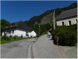 2
2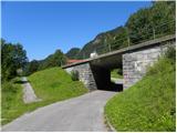 3
3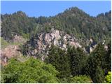 4
4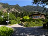 5
5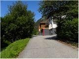 6
6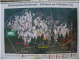 7
7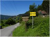 8
8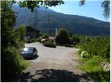 9
9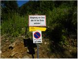 10
10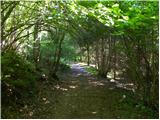 11
11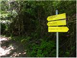 12
12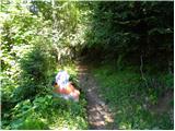 13
13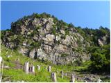 14
14 15
15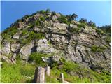 16
16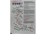 17
17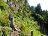 18
18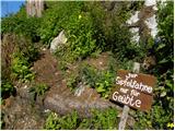 19
19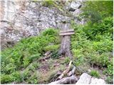 20
20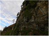 21
21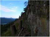 22
22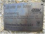 23
23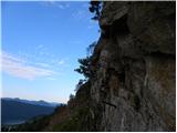 24
24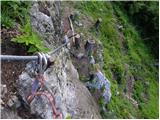 25
25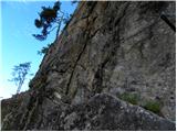 26
26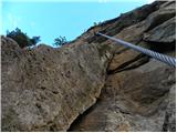 27
27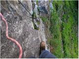 28
28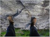 29
29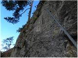 30
30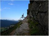 31
31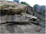 32
32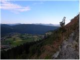 33
33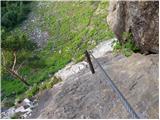 34
34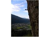 35
35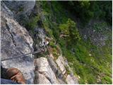 36
36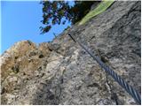 37
37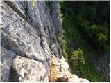 38
38 39
39 40
40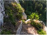 41
41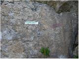 42
42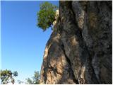 43
43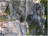 44
44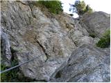 45
45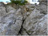 46
46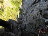 47
47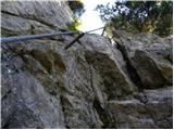 48
48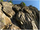 49
49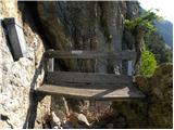 50
50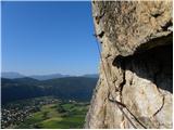 51
51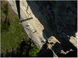 52
52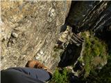 53
53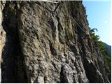 54
54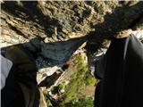 55
55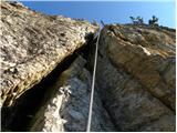 56
56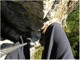 57
57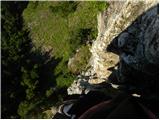 58
58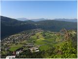 59
59 60
60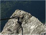 61
61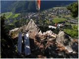 62
62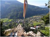 63
63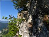 64
64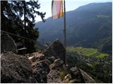 65
65 66
66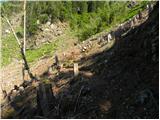 67
67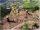 68
68 69
69 70
70 71
71 72
72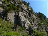 73
73