Starting point: Doklece (231 m)
Starting point Lat/Lon: 46.34545°N 15.78078°E 
Time of walking: 40 min
Difficulty: easy marked way
Difficulty of skiing: no data
Altitude difference: 111 m
Altitude difference (by path): 125 m
Map:
Access to starting point:
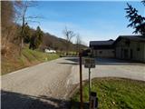
A) We leave Štajerska highway at exit Slovenska Bistrica - jug, and then we follow the road towards Poljčane, and from there towards Makole, Majšperk and Ptuj. At the end of Majšperk at the roundabout we go to the exit in the direction of Žetale and Jurovci. At the larger crossroad we then go sharply left in the direction of Jurovci and Podlehnik (straight - Žetale). We continue on the main road to the settlement Doklece, where at the road sign 4.5 km there is the beginning of the described path. At the starting point, there aren't any parking spots.
B) We leave Podravska highway at exit Lancova vas, and then we follow the signs for Podlehnik and Jurovci. At the end of the settlement Tržec we go from the roundabout right towards Jurovci and further we drive towards Majšerk. When we get to Doklece we will at first notice hiking signposts, where we can already park on an appropriate place, otherwise we drive a little further to the road sign 4.5 km, where the described path begins. At the starting point, there aren't any parking spots.
Path description:
Few steps east from the road sign 4.5 km, on the northern side of the road, a marked path branches off, which on the right side bypasses a bee house, and then it is short time ascending by the edge of the forest. A little further blazes point us left into the forest, through which we diagonally ascend towards the right, and when we leave the forest near the residential houses we reach an asphalt road, on which we then continue through the settlement.
Settlement Doklece after few minutes ends, and the path ahead leads us through the forest and is mostly still gently to moderately ascending. Higher, we get to a marked crossroad, from which we continue left in the direction of basilica, Majšperk, Jelovice and Donačka gora (right - Lovrenc na Dravskem polju).
After the crossroad follows some descent, and from the path a nice view opens up towards both churches on Ptujska Gora. After a short descent, we reach the settlement Ptujska Gora, and from the crossroad behind the chapel, we go slightly right, where we quickly get to the cemetery and church of St. Lenart. After the cemetery we reach the parking lot, and behind it at the smaller crossroad we go left. Next follows few more 10 strides of walking and at the religious symbol we leave the road and on the stairs, we ascend to basilica on Ptujska Gora, from where a beautiful view opens up.
Description and pictures refer to a condition in December 2021.
Pictures:
 1
1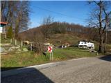 2
2 3
3 4
4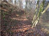 5
5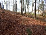 6
6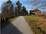 7
7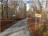 8
8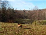 9
9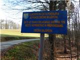 10
10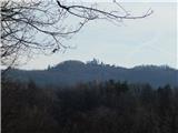 11
11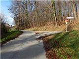 12
12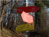 13
13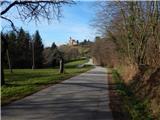 14
14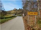 15
15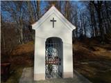 16
16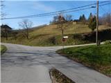 17
17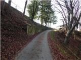 18
18 19
19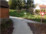 20
20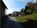 21
21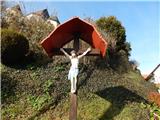 22
22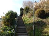 23
23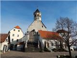 24
24 25
25