Dolena (Stojana vas) - Janški vrh
Starting point: Dolena (Stojana vas) (240 m)
Starting point Lat/Lon: 46.34012°N 15.80939°E 
Time of walking: 50 min
Difficulty: easy marked way
Difficulty of skiing: no data
Altitude difference: 177 m
Altitude difference (by path): 200 m
Map:
Access to starting point:
A) We leave Štajerska highway at exit Slovenska Bistrica - north, and then we follow the road towards Ptuj. Only a little before we get to Podravska highway we turn right towards Kidričevo, and through the settlement we continue straight to Apače, where at the roundabout we go "left" exit towards Ptuj. Approximately 100 meters ahead we go right on a side road, on which we quickly get to the center Apače, where at the crossroad at the chapel, we go left. Further, we drive towards Lancova vas, and before the sign for the beginning of municipality Videm we go right and we drive to the settlement Trnovec, where we go towards Bolečka vas. Next follows a relatively short ascent and then a descent to valley Dravinjska dolina, where we cross the road Majšperk - Videm pri Ptuju. Next follows crossing of Dravinja and we already get to the settlement Dolena, and we drive to a hamlet Stojana vas, where we notice red hiking signposts, where the described path begins. At the starting point, there aren't any parking spots, so we park on an appropriate place nearby.
B) We leave Podravska highway at exit Lancova vas, and then we continue through the settlement Tržec, and from there we follow the signs for Majšperk. Further, we drive through the settlement Jurovci, Popovci and Zgornja Pristava to a crossroad, where we turn left towards the settlement Dolena. Next follows crossing of Dravinja and we already get to the settlement Dolena, and we drive to a hamlet Stojana vas, where we notice red hiking signposts, where the described path begins. At the starting point, there aren't any parking spots, so we park on an appropriate place nearby.
Path description:
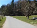
From the starting point, we go on the path towards Janški vrh, where after the meadow the path passes into the forest and ascends on a cart track. Next follows a diagonal ascent on a cart track, where we follow the blazes, and higher blazes point us a little to the left and on a forested slope we ascend to an indistinct ridge, where the forest gets thinner, and the path turns to the right. Next follows an ascent past some abandoned houses, and when we reach the asphalt road we descend past some holiday cottages. From this part for some time already a nice view opens up towards the church of St. John on Janški Vrh, and at the nearby crossroad, we go straight and we again start ascending. At the next crossroad, we go slightly right and we diagonally ascend on a panoramic slope, when at the marked crossing we reach the ridge, we go sharply right and past few more houses we ascend to the church of St. John.
Description and pictures refer to a condition in April 2022.
Pictures:
 1
1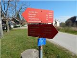 2
2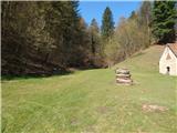 3
3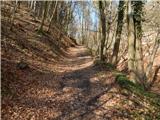 4
4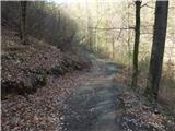 5
5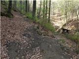 6
6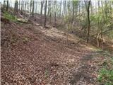 7
7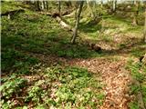 8
8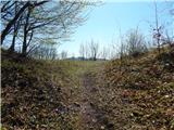 9
9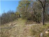 10
10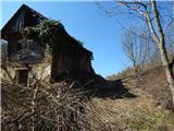 11
11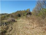 12
12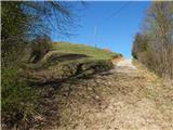 13
13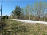 14
14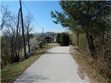 15
15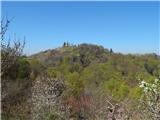 16
16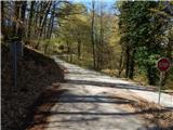 17
17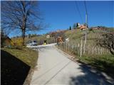 18
18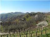 19
19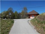 20
20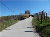 21
21 22
22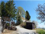 23
23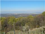 24
24