Dom na Lazni - Poldanovec
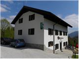
Starting point: Dom na Lazni (951 m)
Starting point Lat/Lon: 46.0387°N 13.8057°E 
Time of walking: 2 h
Difficulty: partly demanding marked way
Difficulty of skiing: no data
Altitude difference: 348 m
Altitude difference (by path): 450 m
Map: Goriška - izletniška karta 1:50.000
Access to starting point:
First, we drive to Lokve (to here from Nova Gorica, Most na Soči or Predmeja), and then we continue driving in the direction of village Lazna. From Lokve the road at first ascends, and then it starts descending towards Lazna. We park on an appropriate place by the mountain hut Dom na Lazni.
Path description:
From the mountain hut Dom na Lazni on an asphalt road, we descend in the direction of monument PN00. After a short descent, the road splits into two parts, and we continue on the right road which at the nearby homestead ends. We continue through the yard of a house, and then we cross a meadow, where the path brings us into the forest. From here ahead there are blazes, and we follow the marked path in a moderate ascent to the nearby macadam road which we follow to the right. The road further ascends diagonally on a panoramic slope, and then turns to the right, where it for some time descends. Next follows few minutes of gentle ascent, and then blazes point us to the left on a poorly beaten, but easy to follow footpath which starts moderately ascending through the forest. Higher, the footpath turns slightly to the right and it joins the forest road which we reach right at its end.
From the end of the road, we walk through a grassy plain, where the unmarked path on Stanov rob branches off to the left, to which there is 5 minutes of walking, and we continue straight to a smaller saddle.
From the saddle, we continue straight on a small footpath which starts descending diagonally on steep slopes. The footpath full of leaves soon flattens, and then with few shorter ascents and descents it leads us on occasionally very steep and for slipping dangerous slopes. Because the path runs below the steep cliffs there is also a great danger of falling stones, and on several spots we can in the late spring still run into some snow field. Occasionally also quite panoramic path (a view is opening up on the valley of Trebuša, Cerkljansko hribovje, Spodnje Bohinjske gore and in nice weather on Triglav), that runs on northeastern slopes of Veliki Češevnik, then it moderately ascends and after few minutes of additional walking brings us on a less steep terrain, where slope suddenly flattens. A gentle descent follows and the path brings us to a nearby road which we follow in the same direction as we were walking until now. After few 10 meters of walking on the road, caption on a tree "Poldanovec" points us left on a marked footpath, on which we quickly ascend on the nearby ridge. Next follows few minutes walk on the ridge and then we join stone cart track, on which we diagonally ascend towards Poldanovec. A little below the summit cart track ends, and we continue left and after 3 minutes of additional walking, we get to panoramic and precipitous peak.
Pictures:
 1
1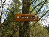 2
2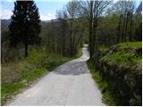 3
3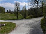 4
4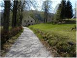 5
5 6
6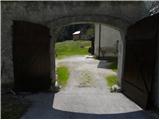 7
7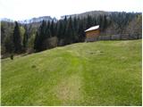 8
8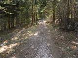 9
9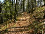 10
10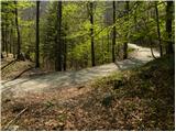 11
11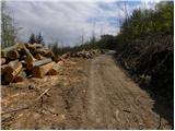 12
12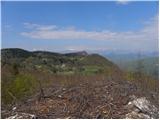 13
13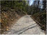 14
14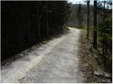 15
15 16
16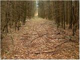 17
17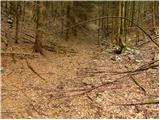 18
18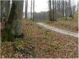 19
19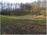 20
20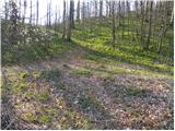 21
21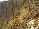 22
22 23
23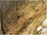 24
24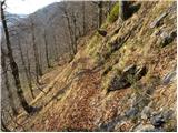 25
25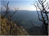 26
26 27
27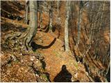 28
28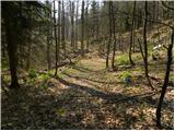 29
29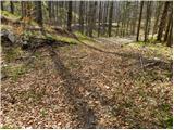 30
30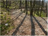 31
31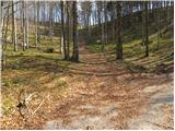 32
32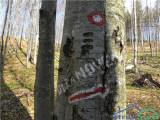 33
33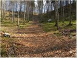 34
34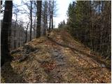 35
35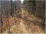 36
36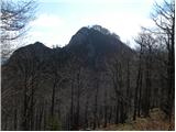 37
37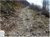 38
38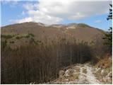 39
39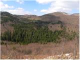 40
40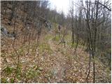 41
41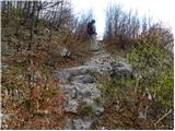 42
42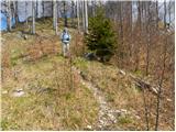 43
43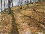 44
44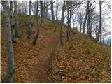 45
45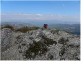 46
46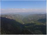 47
47