Dom na Osankarici - Posestvo Šumik (via Črno jezero)
Starting point: Dom na Osankarici (1193 m)
Starting point Lat/Lon: 46.449°N 15.4196°E 
Path name: via Črno jezero
Time of walking: 1 h 55 min
Difficulty: easy marked way
Difficulty of skiing: no data
Altitude difference: -93 m
Altitude difference (by path): 150 m
Map: Pohorje 1:50.000
Access to starting point:
A) We drive to Oplotnica (to here from Štajerska highway exit Slovenske Konjice or Slovenska Bistrica - south), and then we follow the signs for Osankarica. After approximately 12 km of ascent from the center of Oplotnica we get to the parking lot near Dom na Osankarici.
B) First, we drive to Lovrenc na Pohorju (to here from the road Maribor - Dravograd), and then we continue driving towards Rogla and Koča na Pesku. From Koča na Pesku we follow the signs for Osankarica, where we park on a parking lot below Dom na Osankarici. From the center of Lovrenc na Pohorju to the starting point, there is approximately 26 km of mostly macadam road.
Path description:
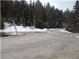
From the parking lot, we go on a marked path in the direction of the lake Črno jezero. At first, we ascend on the stairs, and then we are ascending on paved wooden path. Higher, the path flattens and a still paved path descends a little to the lake Črno jezero.
We short time continue by the lake, and then the path splits.
We continue left in the direction of Sveti Trije kralji (slightly right - Oplotnica - path via Kos) and is then mostly moderately ascending through the forest. Higher, we reach indistinct northern ridge of Veliki vrh, where there is a marked crossing.
We continue left in the direction of waterfall Šumik and Ruše (right - Sveti Trije kralji).
We continue on a gently sloping path through the forest, which leads us via Peščena raven, and after the indistinct peak Trije studenci the path gradually starts descending. A little lower the forest gets thinner, and the path which for some time stops descending has several crossings, where we follow the blazes. After a shorter gentle ascent we again start descending and lower we reach a macadam road which leads from Areh towards Osankarica, and we only cross it and we continue the descent to the next road which we follow to the left (right - Ruška koča na Arehu), and then we quickly get to the starting point Bajgot na Šumiku, where right downwards one of the paths branches off towards Ruše (path Holcarska pot through the valley Lobnica).
From here for few steps we continue on the road, and then we go right on a marked path towards Pesek and Klopni vrh, which leads us over a small bridge across Lobnica. Next follows a shorter ascent and we return on a macadam road, where on the road continues a little shorter, but unmarked path towards estate Šumik, but we go across the road and we continue the ascent on a marked path. A little further, we leave the forest and then on a slightly vegetated slope we ascend to a macadam road, where there is a marked crossing.
We continue right in the direction of Gozdarski dom na Šumiku (left - Pohorje battalion camp, lake Tiho jezero and Koča na Pesku, straight upwards - Koča na Klopnem vrhu and Koča na Pesku) and we continue on the macadam road. At the nearby crossroad, we go straight (sharply left - Koča na Klopnem vrhu), and on the road we continue only a short time because signs for mountain hut point us to the right downwards (straight on the road - Ruše). After a short descent, we return on the road, and in front of us, we notice Koča na Šumiku, to which we have one minute of walking.
Osankarica - lake Črno jezero 0:20, lake Črno jezero - Koča na Šumiku 1:35.
Description and pictures refer to a condition in May and June 2022.
Pictures:
 1
1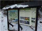 2
2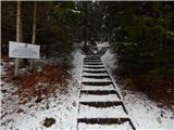 3
3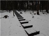 4
4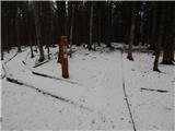 5
5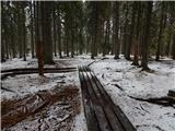 6
6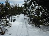 7
7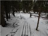 8
8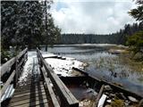 9
9 10
10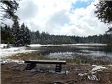 11
11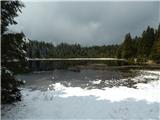 12
12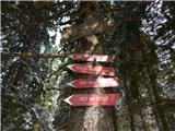 13
13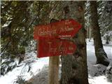 14
14 15
15 16
16 17
17 18
18 19
19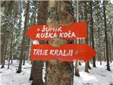 20
20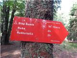 21
21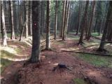 22
22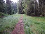 23
23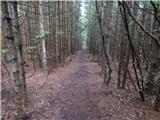 24
24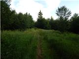 25
25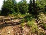 26
26 27
27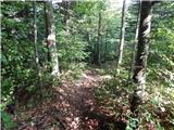 28
28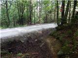 29
29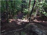 30
30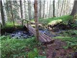 31
31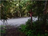 32
32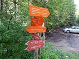 33
33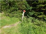 34
34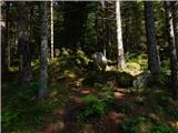 35
35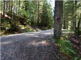 36
36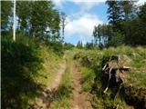 37
37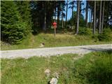 38
38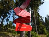 39
39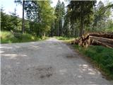 40
40 41
41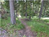 42
42 43
43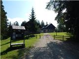 44
44