Dom v Iškem Vintgarju - Iški Vintgar (Vrbica)
Starting point: Dom v Iškem Vintgarju (360 m)
Starting point Lat/Lon: 45.9118°N 14.4993°E 
Time of walking: 1 h 15 min
Difficulty: partly demanding marked way
Difficulty of skiing: more demanding
Altitude difference: 60 m
Altitude difference (by path): 200 m
Map: Ljubljana - okolica 1:50.000
Access to starting point:
We drive on a south Ljubljana bypass road and go to the exit Ig. At the crossroads, we follow the road in the direction of Ig. In Ig we continue towards Iška vas (to here we can also come from Podpeč or Škofljica). We then follow a well-marked road to a large parking lot near the hut Dom v Iškem Vintgarju.
Path description:
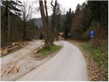
From the parking lot, we continue on the road ahead and after few steps it brings us to hut Dom v Iškem Vintgarju. Further, we continue on for traffic closed road, that runs parallel with the river Iška. After few minutes of walking, we come to a bridge over Iška. Here we leave a wide walking path and go left over a bridge after which the path goes into the forest and ascends for a short time. Next follows a light descent on a slightly exposed ledge which in wet is dangerous for slipping. Further, the path flattens and crosses a clearing and after it, the path soon brings us to Iška (to here we can also come on the right side but at the end there's a passage through the water). The path ahead turns a little to the left and starts ascending. Next follows a few shorter descents and ascents to a little more demanding but secured passage after which we come to steep rocky column, which is some kind of the peak of gorge Iški Vintgar. The path ahead again starts descending and it brings us to Votli kamen (hollow stone), which is only a minute from the path. Further, the path passes out of the forest on a steep but well-secured slopes. The path then again ascends and then in the middle of the descent brings us to the crossing, where we continue on the right bottom path, which in few minutes brings us to a confluence of the rivers Zala and Iška. Here we notice a rocky column to which runs the path which over a narrow bridge crosses the water twice.
On the way: Votli kamen (410m)
Pictures:
 1
1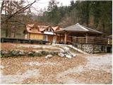 2
2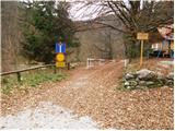 3
3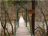 4
4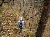 5
5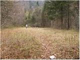 6
6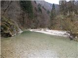 7
7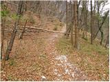 8
8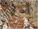 9
9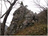 10
10 11
11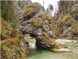 12
12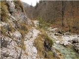 13
13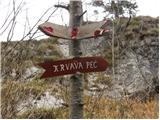 14
14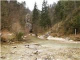 15
15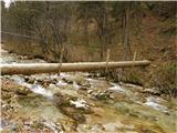 16
16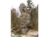 17
17