Domanjševci (evangelical church) - Sveti Martin (Stari breg)
Starting point: Domanjševci (evangelical church) (270 m)
Starting point Lat/Lon: 46.77841°N 16.28667°E 
Time of walking: 15 min
Difficulty: easy marked way
Difficulty of skiing: no data
Altitude difference: 37 m
Altitude difference (by path): 40 m
Map: Pomurje 1:40.000
Access to starting point:
We drive to Murska Sobota, and then we follow the signs for Hodoš. In the settlement Gornji Petrovci we turn right towards Križevci, and in Križevci at the bus stop we turn left in the direction of Vidrin center Aqualutra. At the crossroad with the priority road, where signs for Vidrin center point us right, we continue slightly left or straight. A little further, we get to Domanjševci, and when we notice signs for evangelical church we turn right on a side road, on which we drive to the parking lot at evangelical church.
Path description:
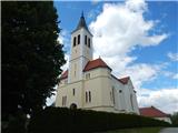
From the parking lot, we go on the road which continues towards the northwest (if we came to the starting point on the above described access to the starting point, we then some time walk on the same road), and at the crossroad, we go slightly left on a macadam road, by which there are also blazes. Next follows some of a moderate ascent through the forest, and partly also among fields, and occasionally some view opens up towards Domanjševci and surrounding hills. After approximately 15 minutes of walking, we get to the church of St. Martin which is situated on 307 meters high Stari breg.
Description and pictures refer to a condition in June 2021.
Pictures:
 1
1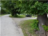 2
2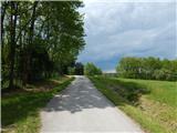 3
3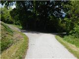 4
4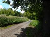 5
5 6
6 7
7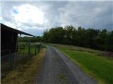 8
8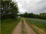 9
9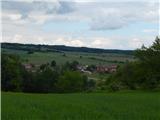 10
10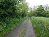 11
11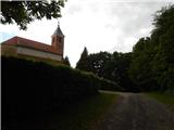 12
12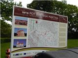 13
13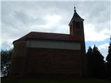 14
14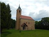 15
15