Dravograd - Huhnerkogel/Košenjak (via Goriški Vrh)
Starting point: Dravograd (362 m)
Starting point Lat/Lon: 46.5891°N 15.0234°E 
Path name: via Goriški Vrh
Time of walking: 3 h
Difficulty: easy marked way
Difficulty of skiing: no data
Altitude difference: 1160 m
Altitude difference (by path): 1160 m
Map: Koroška, izletniška karta 1:50.000
Access to starting point:
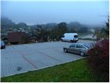
From highway Ljubljana - Maribor we go to the exit Žalec, and then we continue driving in the direction Velenje, Mislinja, Slovenj Gradec and Dravograd. When in Dravograd we cross a bridge over the river Drava we turn left and then we park on one of marked parking lots in the center of Dravograd.
From Maribor, we can get to Dravograd also on the road which is winding through the valley of river Drava.
Path description:
From the center of Dravograd we continue on the main road towards Austria, and after few 10 meters we notice signs for Ojstrica, which point us sharply right on ascending and still asphalted road. Only a little further, the marked path splits into two parts. We continue on the left path (right - Košenjak over Ojstrica), which ascends steeply by the yard of several houses, and then it brings us to the road which we short time follow towards the right. After a short ascent, we get to a smaller crossroad, where signs for Košenjak point us on a steep and narrow road which higher flattens and loses an asphalt covering. We short time continue on a macadam road, and then blazes point us to the left on a steep footpath which quickly passes into a lane of a forest. Next follows a short ascent through the forest and then we get to the road which we follow to the remains of a former castle (castle Dravograd or in German Traburg). Here we continue on the right road which ascends on a panoramic grassy slope, and then passes into the forest, where it is for some time moderately ascending. A little higher, the road leads us past the tower "Sodni stolp" (the tower is less than a minute distant from the marked path) and it brings us to the next panoramic area.
Further, we bypass few houses, and then we continue left on a cart track which ascends by the edge of the meadow. On top of the meadow, the path goes into the forest, through which it is then moderately to occasionally steeply ascending. Higher, we cross the forest road, and then we are for some time still ascending through the forest, and the forest ends on a panoramic meadow, on which in spring time gentiana clusii grows.
On the upper part of the meadow blazes again lead into the forest, and marked path which higher few more times crosses some forest road, we follow to three or four crosses, behind which there is a larger chapel.
Further, we short time continue on the road, and then blazes point us on a footpath which is further moderately ascending through the forest. A well-marked path, which higher few more times crosses different forest roads, we all the time follow in the direction of Košenjak. Higher, the cart track changes into a little steeper footpath, and we follow it to the top of Košenjak, and we reach it after few minutes of additional walking.
On the way: Grad Dravograd / Traburg (450m)
Pictures:
 1
1 2
2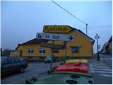 3
3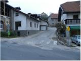 4
4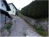 5
5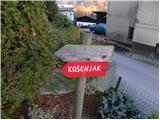 6
6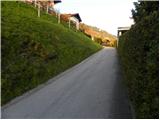 7
7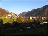 8
8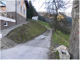 9
9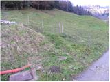 10
10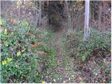 11
11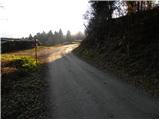 12
12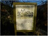 13
13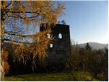 14
14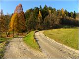 15
15 16
16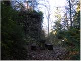 17
17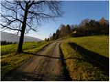 18
18 19
19 20
20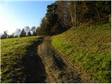 21
21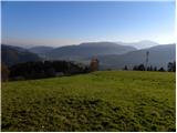 22
22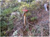 23
23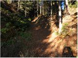 24
24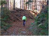 25
25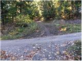 26
26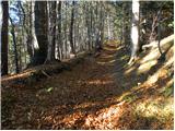 27
27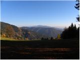 28
28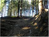 29
29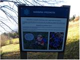 30
30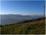 31
31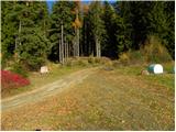 32
32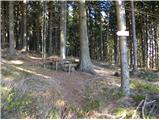 33
33 34
34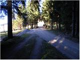 35
35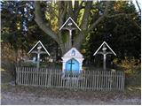 36
36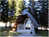 37
37 38
38 39
39 40
40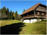 41
41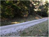 42
42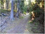 43
43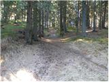 44
44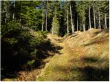 45
45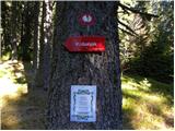 46
46 47
47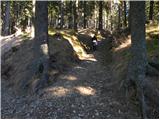 48
48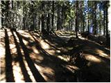 49
49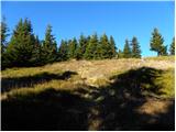 50
50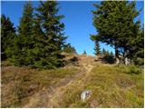 51
51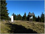 52
52 53
53