Gabrje - Homestead Pr Lenart (Belo)
Starting point: Gabrje (328 m)
Starting point Lat/Lon: 46.0766°N 14.3843°E 
Time of walking: 1 h
Difficulty: easy marked way
Difficulty of skiing: no data
Altitude difference: 322 m
Altitude difference (by path): 330 m
Map: Ljubljana - okolica 1:50.000
Access to starting point:
A) We leave the Primorska highway at the Brezovica exit, then continue driving towards Dobrova and Polhov Gradec. We drive through the Gradaščica valley, following the main road towards Polhov Gradec to a smaller intersection, where a road towards the villages Osredek, Topol (Katarina) and Belo branches off to the right (the turn-off from the main road is located a little before the beginning of the village Hrastenice). We park at an appropriate place by the mentioned intersection.
B) From the Ljubljana ring road or Gorenjska highway we head to the exit Ljubljana (Podutik), then continue driving towards the mentioned part of Ljubljana and further towards Dobrova. After Preval, where a road towards Toško Čelo branches off to the right, the road starts descending, and we drive along it to the place where we reach the main road Dobrova - Polhov Gradec. We follow the mentioned road to the right in the direction of Polhov Gradec, and follow the main road to a smaller intersection, where a road towards the villages Osredek, Topol (Katarina) and Belo branches off to the right (the turn-off from the main road is located a little before the beginning of the village Hrastenice). We park at an appropriate place by the mentioned intersection.
C) We drive to Polhov Gradec, then continue driving towards Ljubljana. A little after the village Hrastenice, we will arrive at an intersection, where the road towards the villages Osredek, Topol (Katarina) and Belo branches off to the left (the turn-off from the main road is located a little before the beginning of the village Hrastenice). We park at an appropriate place by the mentioned intersection.
Path description:
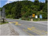
From the intersection at the transformer we continue a few steps along the main road towards Polhov Gradec, then go right in the direction of Grmada on a macadam road which continues past houses. The macadam road which leads us past a few houses quickly brings us to a smaller saddle, where we continue straight downhill (sharp right cart track which leads along the eastern slopes of the peak Praprotno (527 m) and further splits several times). The road then leads us past another house, then behind it we continue right on an ascending cart track. We continue the ascent diagonally through the forest, past a smaller spring arriving at a poorly marked junction, where we continue right. Further, we ascend moderately through the forest, along the path noticing some rare blazes, by one of which there is also an inscription for the elevation. Higher, we arrive at a sort of ridge along and on which we then ascend towards the village Belo.
When we reach the village beautiful views open up, and the path leads us further mostly on a macadam road, which at a few intersections we follow in the direction of the open-doors farm Pr Lenart, which we quickly reach.
Pictures:
 1
1 2
2 3
3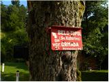 4
4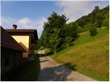 5
5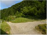 6
6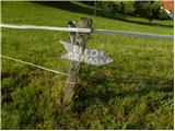 7
7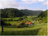 8
8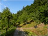 9
9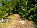 10
10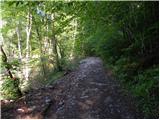 11
11 12
12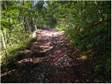 13
13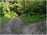 14
14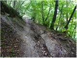 15
15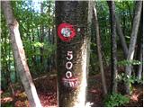 16
16 17
17 18
18 19
19 20
20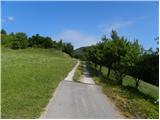 21
21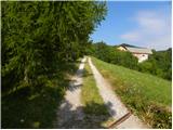 22
22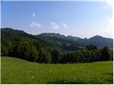 23
23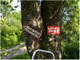 24
24 25
25 26
26 27
27