Gibina - Razkriški kot (confluence of Mura and Ščavnica)
Starting point: Gibina (182 m)
Starting point Lat/Lon: 46.52117°N 16.30399°E 
Time of walking: 6 min
Difficulty: easy marked way
Difficulty of skiing: no data
Altitude difference: -13 m
Altitude difference (by path): 2 m
Map: Pomurje 1:40.000
Access to starting point:
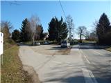
We drive to Razkrižje (to here from Ljutomer, Beltinci or Ljutomer), and then we go on the road towards Gibina and Croatia. Further, we drive also through Šafarsko, and when we get to Gibina, we park on a parking lot near bar Stari pil.
Path description:
By the parking lot signs for Razkriški kot point us to the left, on a side road, on which we continue past few more houses, and at the nearby crossroad, we go straight. When the asphalt ends we continue straight on a cart track which starts descending through a lane of a forest. Next follows a shorter descent and we get to a confluence of the rivers Ščavnica and Mura, where we go right to the nearby wooden viewpoint.
Description and pictures refer to a condition in March 2022.
Pictures:
 1
1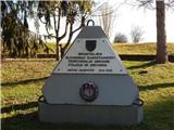 2
2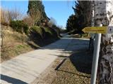 3
3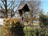 4
4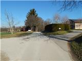 5
5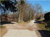 6
6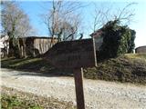 7
7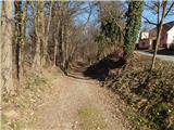 8
8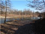 9
9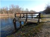 10
10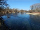 11
11 12
12