Gozd Martuljek - Jerman (Ferata Jerm'n)
Starting point: Gozd Martuljek (747 m)
Starting point Lat/Lon: 46.48494°N 13.84357°E 
Path name: Ferata Jerm'n
Time of walking: 1 h 10 min
Difficulty: extremely difficult marked way
Ferrata: D/E
Difficulty of skiing: no data
Altitude difference: 143 m
Altitude difference (by path): 180 m
Map:
Access to starting point:
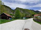
We leave Gorenjska highway at exit Hrušica and follow the road ahead in the direction of Kranjska Gora. We follow this road all the way to the village Gozd Martuljek, where before the bridge, which crosses the stream Hladnik we turn right on a narrow road past the sports field. Immediately after the mentioned sports field on the left side of the road there is a smaller parking lot where we park. By the parking lot there are also signs with data about secured paths Ferata Hvadnik and Ferata Jerm'n.
Path description:
From the parking lot, we continue on the asphalt road which we already after few meters leave and we go left over a small bridge, where also a signpost for ferrata Jerm'n points us to. Further, we then again walk on an asphalt road through the village and we all the time follow the signs for ferrata Jerm'n. The road starts slightly ascending and it brings us into the forest and soon also to a crossing where the footpath branches off to the right towards the village Srednji Vrh. On this path we will later also descend.
We continue few ten meters on the road, and then we get to the bridge where on the right side by the road there is the beginning of the secured path Ferata Jerm'n.
In front of the entry into the secured climbing path we must equip ourselves with a self-belay set and a helmet. It is also recommended to use climbing gloves.
The secured path at first ascends by the steel cable and it quickly brings us to first demanding ascent. Here with the help of stemples we ascend on a vertical wall (difficulty D). Because the stemples are a little further apart, also some strength in arms is needed.
After that, the path for a short time becomes less demanding and from the right side joins also an easier path which leads to the waterfall. Here we continue left and after a short crossing by the steel cable we get to the waterfall Jermanov slap.
Below the waterfall we on the steel cable cross the stream and then follows the most difficult part of the ascent (difficulty to D/E). We are ascending on a vertical wall left from the waterfall, and we get help from few stemples, which are quite far apart. On some spots, the wall is even slightly overhanging. Next follows a demanding exposed crossing to the right, which brings us into a gorge. Here the difficulty decreases a little and the path runs through the gorge on the left side of the stream.
The path quickly brings us to another bridge where we on the steel cable cross the stream. Follows only the last steep ascent by the steel cable where we again get help from few stemples (C/D).
Difficulty then decreases and the path brings us to the vantage point where there is a bench.
From the vantage point, we continue few more meters by the steel cable, and then we join footpath which leads from Gozd Martuljek towards Srednji Vrh. Here we continue right and we descend towards the starting point in Gozd Martuljek.
On the way: Jermanov slap (820m)
Pictures:
 1
1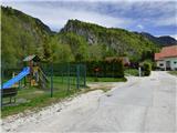 2
2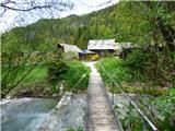 3
3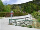 4
4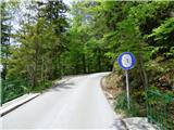 5
5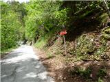 6
6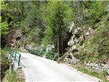 7
7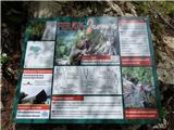 8
8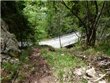 9
9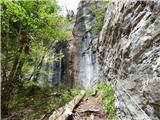 10
10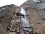 11
11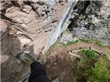 12
12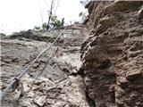 13
13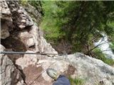 14
14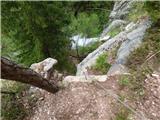 15
15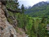 16
16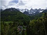 17
17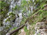 18
18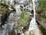 19
19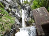 20
20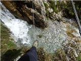 21
21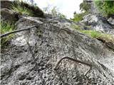 22
22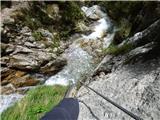 23
23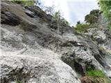 24
24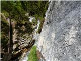 25
25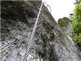 26
26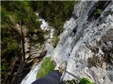 27
27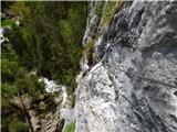 28
28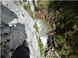 29
29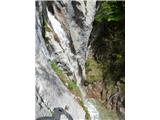 30
30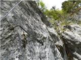 31
31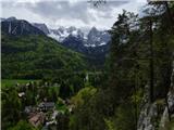 32
32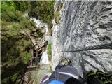 33
33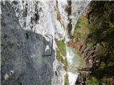 34
34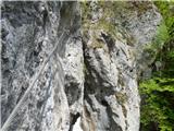 35
35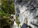 36
36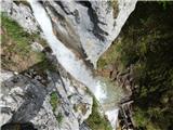 37
37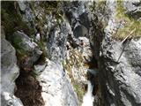 38
38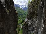 39
39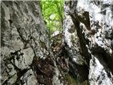 40
40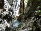 41
41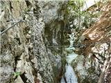 42
42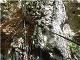 43
43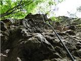 44
44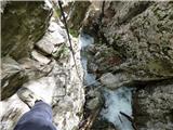 45
45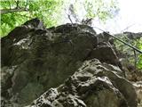 46
46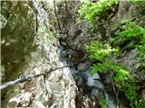 47
47 48
48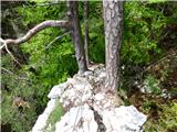 49
49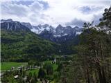 50
50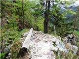 51
51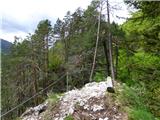 52
52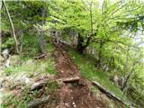 53
53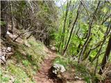 54
54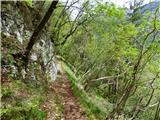 55
55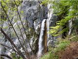 56
56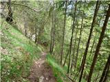 57
57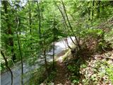 58
58