Starting point: Grabšinski breg (312 m)
Starting point Lat/Lon: 46.51518°N 16.00845°E 
Time of walking: 15 min
Difficulty: easy marked way
Difficulty of skiing: no data
Altitude difference: 40 m
Altitude difference (by path): 40 m
Map:
Access to starting point:
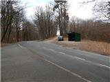
A) From highway Maribor - Lendava we go to the exit Sveti Jurij ob Ščavnici, and then we follow the signs for the mentioned settlement. We further follow the signs for Ptuj, and on the main road, we drive to a smaller saddle, where there is the bus stop Grabšinski breg and turn-off of the road towards Gomila. We park on an appropriate place by the bus stop, the way that we don't hinder the bus stop and traffic.
B) We drive to Ptuj, and then we follow the signs for Gornja Radgona and Sveti Jurij ob Ščavnici. When we get to a smaller saddle by the bus stop Grabšinski breg, we at the same time get also to a crossroad, where a road towards Gomila branches off to the right. We park on an appropriate place by the bus stop, the way that we don't hinder the bus stop and traffic.
Path description:
From the bus stop, we carefully cross the main road, and then we go on a side road in the direction of Gomila. Already after about 100 meters of a light ascent we get to a smaller crossroad, where we go right in the direction of Gomila, only a little after the crossroad from the left joins also a marked path.
We continue on the road which quickly brings us out of the forest and then the road leads by houses. A little further from the left join also the path from Trnovci and Rucmanci, and after the crossroad, we quickly get to Gomila, where on the left side we notice 18 meters high lookout tower.
Description and pictures refer to a condition in January 2022.
Pictures:
 1
1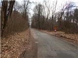 2
2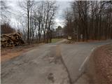 3
3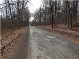 4
4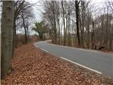 5
5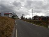 6
6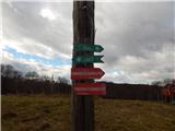 7
7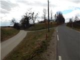 8
8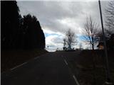 9
9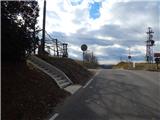 10
10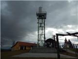 11
11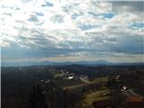 12
12