Gradišče - Vojkova koča na Nanosu (easier path)
Starting point: Gradišče (250 m)
Starting point Lat/Lon: 45.8323°N 13.971°E 
Path name: easier path
Time of walking: 4 h 30 min
Difficulty: difficult marked way
Difficulty of skiing: no data
Altitude difference: 990 m
Altitude difference (by path): 1150 m
Map: nanos 1:50.000
Access to starting point:
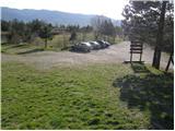
From Razdrto we drive on the highway towards Nova Gorica or vice versa and we go to the exit Vipava. We follow the road ahead, towards Vipava and Gradišče. In the village Gradišče we notice the first mountain signposts, which we follow to a larger parking lot above the village Gradišče.
Path description:
From the parking lot, we go on the path in the direction of Gradiška Tura and Abram. At first wide and gently sloping path, quickly brings us to the first crossing, where we continue straight (right St. Miklavž). After additional few steps of walking, the path brings us to scree, on which we diagonally ascend on bushy slopes. The path ahead is steeper and steeper ascending and it soon brings us to the next crossing, where we continue on the right, much easier, but still partly demanding path. The path, then immediately crosses a short, but well-secured exposed ledge, behind which we ascend on panoramic Oltar. From Oltar we still continue on a steep path, which is in parts secured with a steel cable or iron spikes. The steepness then gradually decreases and the path brings us to the spot, where from the left joins the climbing path. Further, we continue on the path which occasionally still relatively steeply ascends, over some shorter rocky jump. A little below the summit on rock we notice an interesting verse, after which after few steps we step to the summit.
From Gradiška Tura we continue on a marked path in the direction of Jež. The path then goes into the forest, where it is except for some initial strides, descending. After few minutes of gentle descent we come to a crossing, where we continue straight towards Abram (left Vipava). The path ahead, leads us on a pleasant meadow, which is surrounded by thin forest. Behind the meadow, we step on the road, where we continue right, again in the direction towards Abram. And on the road we walk only a short time, to the first crossroad, where we continue sharply left to the house, which we notice on the left side. Here we leave a worse road and we continue right upward on a marked path, which after few steps brings us on a cart track which we follow to the right. Further path, with some shorter ascents and descents brings us to the next forest road which we only cross. Next follows a moderate ascent, at first through a meadow, and then through the forest to the cottage Furlanovo zavetišče pri Abramu.
From the cottage Furlanovo zavetišče pri Abramu, which we bypass on the left side, we continue on the road, on which already after few 10 strides we get to the hunting lodge, in front of which there is a large parking lot.
From the parking lot, we continue on the road in the direction of the mountain hut Vojkova koča and Podnanos. And a gentle road quickly brings us to a smaller hamlet, where we continue on the upper left road. The road ahead leads by the edge of the forest, from where a nice view opens up on Dolomites. Only a little further, the road passes into a dense forest and it brings us to the next crossroad, where we continue straight. Through the forest, we walk for few minutes, and then the road brings us on the more and more panoramic slopes. Here we will notice signs for mountain hut Vojkova koča, which point us to the left on a marked, but on parts a little overgrown footpath. After the initial ascent the path quickly flattens and brings us on a plateau terrain. A little further, we cross a short lane of bushes, and the path then for some time continues through ample and partly overgrown karst meadows. Next follows a short ascent and the path brings us to the next road which we follow right downwards. After a short descent, we again leave the road and we continue the ascent left, on a marked cart track, on which we at first start relatively steep, after that gently ascending. Further, we are ascending by the edge of indistinct valley Ječmenovec, and the path higher passes into the forest, through which ascends on the unvegetated saddle, northwest from Laniški vrh (1236 meters).
From the saddle follows a descent to a nearby road which leads to the mountain hut Vojkova koča, and we only cross it and we continue on a marked hiking path. The path soon turns slightly to the left and higher returns on the mentioned road. A moderately steep path, from which occasionally a view opens up, then continues alternately through the forest, and partly on the macadam road. This path, we then follow all the way to the mountain hut Vojkova koča na Nanosu.
Pictures:
 1
1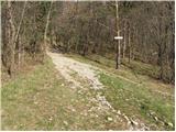 2
2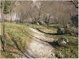 3
3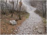 4
4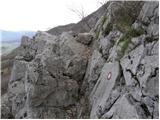 5
5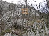 6
6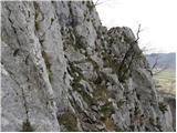 7
7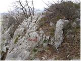 8
8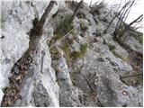 9
9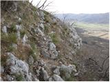 10
10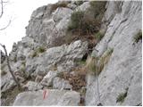 11
11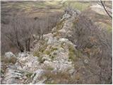 12
12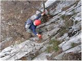 13
13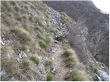 14
14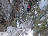 15
15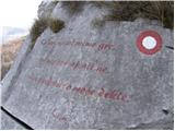 16
16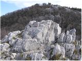 17
17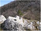 18
18 19
19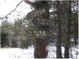 20
20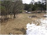 21
21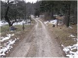 22
22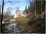 23
23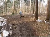 24
24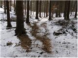 25
25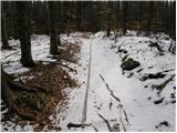 26
26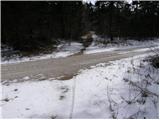 27
27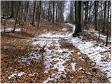 28
28 29
29 30
30 31
31 32
32 33
33 34
34 35
35 36
36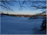 37
37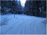 38
38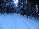 39
39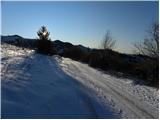 40
40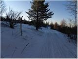 41
41 42
42 43
43 44
44 45
45 46
46 47
47 48
48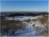 49
49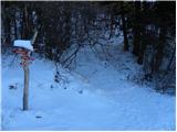 50
50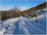 51
51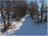 52
52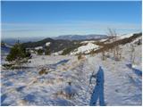 53
53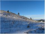 54
54 55
55 56
56 57
57 58
58 59
59 60
60 61
61 62
62 63
63 64
64 65
65 66
66 67
67 68
68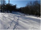 69
69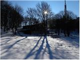 70
70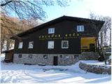 71
71 72
72 73
73