Grgar - Sveta Gora (via Križce)
Starting point: Grgar (286 m)
| Latitude/Longitude: | 45,99900°N 13,67410°E |
| |
Route name: via Križce
Walking time: 1 h 30 min
Difficulty: easy marked way
Elevation gain: 395 m
Elevation difference along the route: 410 m
Map: Goriška - izletniška karta 1:50.000
Recommended equipment (summer):
Recommended equipment (winter):
Views: 2.560
 | 1 person like this post |
Access to starting point:
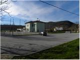
a) We drive to Nova Gorica, then continue towards Tolmin and Kobarid. We follow the main road towards Tolmin only as far as Solkan, where at the traffic-light intersection we continue right towards Sveta Gora and Grgar. The ascending road leads us past the Solkan quarry, then a little higher it turns sharply right and brings us to the Skalnica inn, after which we first reach the intersection where a steep road branches left towards Sveta Gora, and a little further the intersection where the road continues slightly left towards Grgar, Čepovan and Banjšice (slightly right Trnovo and Lokve). After a short descent we arrive in Grgar, where at the intersection by the NOB monument we continue straight to the nearby sports field by the primary school, where we park in the large car park.
b) From Tolmin or Most na Soči we drive along the main road towards Nova Gorica, then just before Nova Gorica, more precisely at the traffic-light intersection in Solkan, we turn left towards Sveta Gora and Grgar. The ascending road leads us past the Solkan quarry, then a little higher it turns sharply right and brings us to the Skalnica inn, after which we first reach the intersection where a steep road branches left towards Sveta Gora, and a little further the intersection where the road continues slightly left towards Grgar, Čepovan and Banjšice (slightly right Trnovo and Lokve). After a short descent we arrive in Grgar, where at the intersection by the NOB monument we continue straight to the nearby sports field by the primary school, where we park in the large car park.
c) From Goriška Brda we drive to Solkan, where at the first intersection after the new Solkan bridge we continue straight towards Sveta Gora. The ascending road leads us past the Solkan quarry, then a little higher it turns sharply right and brings us to the Skalnica inn, after which we first reach the intersection where a steep road branches left towards Sveta Gora, and a little further the intersection where the road continues slightly left towards Grgar, Čepovan and Banjšice (slightly right Trnovo and Lokve). After a short descent we arrive in Grgar, where at the intersection by the NOB monument we continue straight to the nearby sports field by the primary school, where we park in the large car park.
Route description:
Warning: The described path is abandoned and in many sections completely overgrown with thorns and brambles, so the trail is at times completely lost. The character of the path has changed from marked to unmarked.
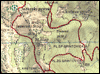
From the car park we return to the NOB monument, then continue along the left road (viewed from the direction of access to the starting point, if we came from the direction of Nova Gorica), which is soon joined from the right by a "shortcut" (from the car park we do not need to go to the monument, as a shorter road leads here that starts a little before the car park and continues westwards). We walk on the pavement for a short time, then at the point where the main road turns right we continue straight onto the narrower asphalt road. We walk about 50 metres along the mentioned road, then the signs for Sveta Gora direct us left onto another road, where we first pass the "last" house, after which the road continues across a meadow. We walk on asphalt to the gas pipeline marker no. 443, from where we continue along the left road towards Sveta Gora. Just a few steps further we turn left from the gravel road in the direction of the marked path to Sveta Gora via Križce (straight ahead Sveta Gora via Ranjekah, via Sreda and over Frančiškov hrib).
We continue along the cart track, which quickly brings us to a stone enclosure, beside it to the stream Slatnik, which we cross, then on the other side we continue more to the left. Next we cross a wider cart track, at the same time crossing the route of the power line. This is followed by an ascent through the forest along a less trodden but initially still well traceable path, along which we also notice some markings. Higher up, on the section where the path transitions from the north-eastern to the south-eastern slope, the path begins to disappear among the thorns. This is followed by searching for passages among the thorns, or on some sections we have to force our way through the overgrown path. A little further we reach a slope where there was a fire a few years ago, and from there the path is again easier to follow. A gentle transverse ascent follows, then we reach the asphalt road that leads towards the summit of Sveta Gora.
Along the road we pass several stations of the Way of the Cross, then, when the road turns sharply right, we continue straight onto a footpath, which higher up returns to the road. When we return to the road the path leads us past the Pieta chapel renovated in 2015, after which we continue along a stepped path. Past the last station of the Way of the Cross, we quickly reach the cemetery, from there in a few dozen steps to the summit of Sveta Gora, from which a beautiful view opens up that reaches all the way to the Julian Alps.
The trip can be extended to the following destinations: Vodice
Photos:
 1
1 2
2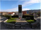 3
3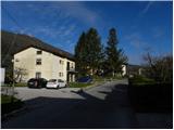 4
4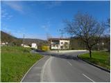 5
5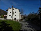 6
6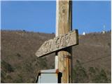 7
7 8
8 9
9 10
10 11
11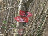 12
12 13
13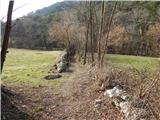 14
14 15
15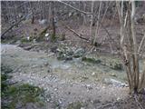 16
16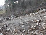 17
17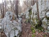 18
18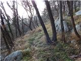 19
19 20
20 21
21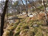 22
22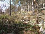 23
23 24
24 25
25 26
26 27
27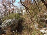 28
28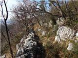 29
29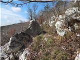 30
30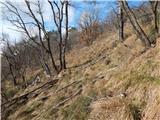 31
31 32
32 33
33 34
34 35
35 36
36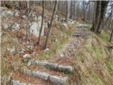 37
37 38
38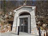 39
39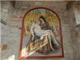 40
40 41
41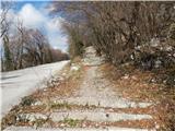 42
42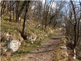 43
43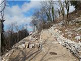 44
44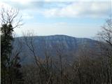 45
45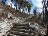 46
46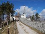 47
47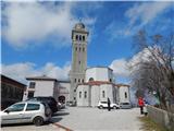 48
48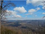 49
49
Discussion about the trip Grgar - Sveta Gora (via Križce)
|
| Hribovka123419. 07. 2016 |
I do not recommend this path to anyone.
1. MARKED path? What else. On this path there is not a single mark that is nicely painted and younger than 20 years. Marks are rare, you're lucky if you see one every 300 m. In between you wander and watch for them like a hawk.
2. marked PATH? This was by no means a path, but pathless terrain. At the beginning maybe still somewhat trodden, then obviously everyone turned back and went another way - obviously even the marker who should renew the marks.
3. Path condition. The description says; follow searching for passages through thorns, or we have to break through overgrown sections. On SOME SECTIONS - read most of the path runs through thorns, for which you would need at least a saw to get through unscathed.
Not to mention that in the middle of the path there are no marks anywhere anymore, not even traces of the path where it should go. At the foot of the mountain there is still a sign that this path exists - is that true? Please, if the markers don't maintain the path, it's no longer a path but pathless terrain that deserves a different label.
I don't recommend the torment of hiking this path to anyone, better go by road. Unless of course you are a daredevil adventurer and want to see all the flora and fauna this hill offers.
If someone still wants to go this way, my motto on this hike was Per aspera ad astra, I believe yours will be too.
|
|
|
|
| valerija11219. 07. 2016 |
I usually go via Frančiškov hrib, the path is quite solid.
|
|
|
|
| atoamac22. 10. 2023 20:31:36 |
All mentions by #Hribovka1234 from 2016 still hold true in October 2023.
|
|
|
|
| bernard1130. 01. 2026 16:33:45 |
In January 2026 the path "over Križce" (between the asphalt road to Sveta Gora and Grgar) was normally passable. Otherwise without markings or some older ones can be found, but the path cannot be missed. Maybe also because it was winter and there was no lush vegetation yet.
|
|
|
To post a comment you must log in:
If you do not yet have a username, you must first
register.