Hraše - Smledniški hrib (Stari grad)
Starting point: Hraše (348 m)
Starting point Lat/Lon: 46.1745°N 14.4477°E 
Time of walking: 45 min
Difficulty: easy unmarked way
Difficulty of skiing: no data
Altitude difference: 169 m
Altitude difference (by path): 169 m
Map:
Access to starting point:
A) From the highway Ljubljana - Jesenice, take the Vodice exit, then continue driving towards Smlednik and Medvode. The road ahead leads us first through the settlement Zapoge, then we arrive at the bus stop in Hraše, where the described footpath begins. At the starting point, there are no arranged parking spaces.
B) First, drive to Medvode, from there continue driving towards Zbilje, Smlednik and Vodice. Before arriving in Vodice, the road leads us through the settlement Hraše, where the described footpath begins.
Path description:
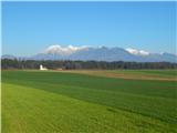
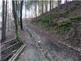
From the bus stop in the northeastern part of the settlement (first bus stop from the direction of the highway exit) we continue along the road or sidewalk in the direction of Medvode. Along the main road we walk to the house with house number Hraše 34, behind the mentioned house we turn left (if we start the path in the southwestern part of the settlement, before the mentioned house we continue right) onto a narrower road, along which we notice a sign for traffic-calming zone. After a few steps we arrive at an intersection of several roads, but we continue straight along the macadam road, which then gently ascends alongside a larger orchard. With nice views on the Alps, the road, which in the meantime has already changed into a cart track, takes us into the forest, where at its beginning we notice a hunting observatory. Some 10 steps further the path gradually becomes steeper and, after crossing a torrent, turns left and begins to ascend transversely along a steeper slope. Higher up the cart track splits into two parts, we choose the right one, along which in a few minutes of further walking we reach the marked path Repnje - Smledniški grad (even if at the last junction we continue along the left cart track we will reach the mentioned marked path in a few minutes). When we reach the marked path we follow it to the right, which quickly brings us to the place where it splits into two parts, but we continue straight along the lower path (also possible right along the steeper and higher also scenic path (both paths later join again)), which a few steps further brings us to the logbook box "Pr Zemljan". A few-minute traverse follows, then we reach a drivable macadam road, where the previously mentioned "scenic - steep path" joins us from the right.
We continue along the ascending road, along which in a few minutes we arrive at the refreshment stand Stari grad and a few steps higher also at the summit of Smledniški hrib, on which stand the renovated ruins of Stari grad.
Description and pictures refer to the condition in 2014 (December).
Pictures:
 1
1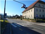 2
2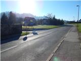 3
3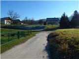 4
4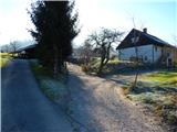 5
5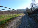 6
6 7
7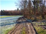 8
8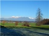 9
9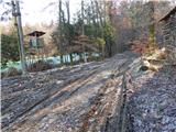 10
10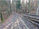 11
11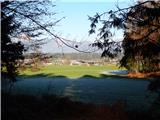 12
12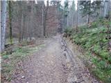 13
1314
 15
15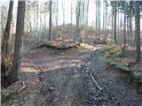 16
16 17
17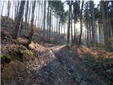 18
18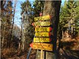 19
19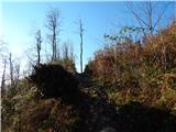 20
20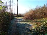 21
21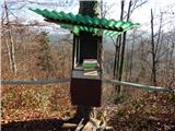 22
22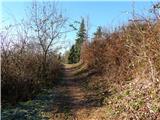 23
23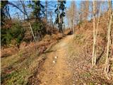 24
24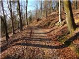 25
25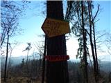 26
26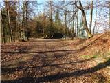 27
27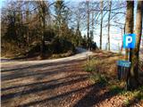 28
28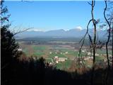 29
29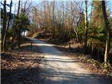 30
30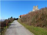 31
31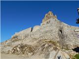 32
32 33
33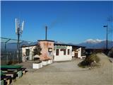 34
34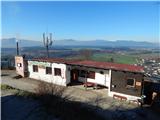 35
35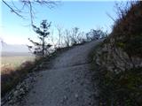 36
36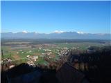 37
37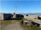 38
38 39
39