Iverje - Dom v Kamniški Bistrici (Koželjeva pot)
Starting point: Iverje (458 m)
Starting point Lat/Lon: 46.2797°N 14.614°E 
Path name: Koželjeva pot
Time of walking: 2 h 45 min
Difficulty: partly demanding marked way
Difficulty of skiing: no data
Altitude difference: 142 m
Altitude difference (by path): 200 m
Map: Kamniške in Savinjske Alpe 1:50.000
Access to starting point:
First, we drive to Kamnik, and then we continue driving in the direction of Kamniška Bistrica. In Stahovica (to here we can come also over mountain pass Črnivec or Volovjek) we continue left or right if we come from Črnivec or Volovjek and we follow the road ahead through the valley of Kamniška Bistrica. Soon after the large quarry, which we notice on the left side, we will by the road notice signs for path Koželjeva pot, which point us to the left over a small wooden bridge. Immediately behind the bridge or few 10 meters ahead we park on one of the smaller parking lots by the road.
Path description:
From the starting point, we continue on a macadam road which continues on the left side or right bank of river Kamniška Bistrica. The road soon narrows a little and starts moderately ascending. After few minutes it turns sharply to the left, and we follow it only to the beginning of the mentioned turn, where signs for Kamniška Bistrica on the path Koželjeva pot point us on narrower and occasionally a little steeper path. The path ahead soon passes on a steep and mainly in wet for slipping dangerous slopes. After a long crossing of slopes path slightly descends and brings us on a cart track, on which we continue for some time. Cart track soon turns into a footpath which then crosses few more quite steep slopes. The path ahead gets very close to the riverbed of river Kamniška Bistrica, and then turns to the left and it ascends on steep stairs. Next follows a short descent and the path brings us to a macadam road which runs into a valley of Korošica. The mentioned road, we only cross, because blazes point us into the forest, where we already after few meters over a small wooden bridge cross a stream Korošica. The path ahead continues by the riverbed of clear Kamniška Bistrica and is for quite some time barely ascending. The path which leads us past a large boulder, eventually brings us to the end of gorges Predaselj. Here the marked path turns left and starts ascending steeply by the right bank of the before mentioned gorge. The path which is further on some spots also exposed, quickly brings us to the wooden bridge, from which there is a nice view towards the gorge. Over the small bridge, we first time step on the right side (left bank) of Kamniška Bistrica, and then we ascend on exposed, but with a fence secured path. After few 10 strides, steepness decreases and the path brings us to the next macadam road.
Here we can from the bridge view also upper part of gorge, otherwise we still continue on a marked path which leads on the right side of Kamniška Bistrica (parallel with "our" path on the left side continues another path, on which we can come to the mountain hut Dom v Kamniški Bistrici). The path ahead continues through the forest and a little higher it gets very close to an asphalt road. We continue on a marked footpath which again turns a little to the left and after few minutes of additional walking brings us to Mali izvirek. The path ahead gets close to a larger meadow on the left and then is slowly turning towards the right, where after few minutes of a moderate ascent joins the road which leads towards the mountain hut Dom v Kamniški Bistrici. When we step on the road, we soon over the bridge cross river Kamniška Bistrica, and then in front of us we already notice a mountain hut Dom v Kamniški Bistrici.
On the way: Predaselj (560m)
Pictures:
 1
1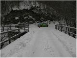 2
2 3
3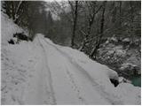 4
4 5
5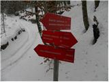 6
6 7
7 8
8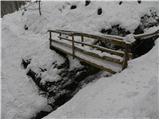 9
9 10
10 11
11 12
12 13
13 14
14 15
15 16
16 17
17 18
18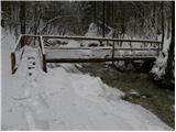 19
19 20
20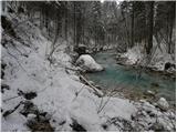 21
21 22
22 23
23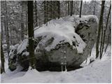 24
24 25
25 26
26 27
27 28
28 29
29 30
30 31
31 32
32 33
33 34
34 35
35 36
36 37
37 38
38 39
39 40
40 41
41 42
42