Starting point: Jablenca (400 m)
Starting point Lat/Lon: 46.3298°N 13.5804°E 
Time of walking: 3 h
Difficulty: easy unmarked way, easy marked way
Difficulty of skiing: no data
Altitude difference: 1157 m
Altitude difference (by path): 1157 m
Map: Julijske Alpe - zahodni del 1:50.000
Access to starting point:
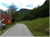
First, we drive to Bovec, and then we continue driving towards Čezsoča. In Čezsoča, at the inn Vančar we continue left in the direction of Jablenca and valley Dolina škratov and we follow a narrow and asphalted road past the pool Slatenik to a little bigger crossroad, where we continue straight (right road which leads to rockfall on Javoršček, which occurred in the year 1950). We continue driving on occasionally ascending road which we follow to Jablenca. We park at the appropriate place few 100 meters before the end of the road (at the end of the road there aren't any appropriate parking spots).
Path description:
We continue on the asphalt road to the last houses, where signposts point us slightly right over a short bridge and then in the forest. Further, we walk on a forest footpath and occasionally a view opens up towards river Soča. At the marked crossings we follow the signs for Golobar. The path then starts a little steeper ascending and for a short time joins the cart track. After a short ascent, we leave the cart track and we go right on a footpath which leads along the stone fence. A well-marked path then starts ascending in zig-zags on a quite steep slope. Later, the slope becomes a little less steep and the path through the forest brings us to abandoned forestry cottage.
From the cottage, we are then mostly ascending through the forest on a military mule track. The path leads us also past some clearings where a nice view opens up on surrounding peaks, and a little from the path there is also a military cemetery. The path through the forest then leads us past the mountain pasture Golobar and it brings us to a saddle Čez Utro. Here nice views open up on surrounding peaks, and on a saddle there is also a monument of the fallen partisans.
From the saddle, we continue straight and after few ten meters, the path brings us to a crossing. We continue on a footpath right upwards, left leads the path towards Čezsoča and Drežnica.
From the crossing ahead, the path isn't marked anymore, but it is enough beaten, that we can follow it without problems. Further, the path runs mostly on the northern side of the mountain and few times crosses relatively steep slopes. In the last part, the path brings us out of the forest and only a short ascent follows to a panoramic summit.
On the way: Planina Golobar (1257m), Čez Utro (1305m)
Pictures:
 1
1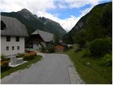 2
2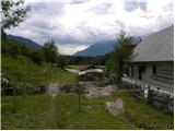 3
3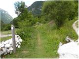 4
4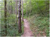 5
5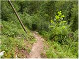 6
6 7
7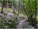 8
8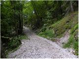 9
9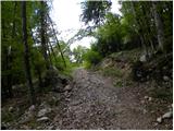 10
10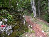 11
11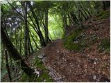 12
12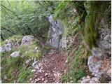 13
13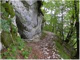 14
14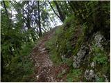 15
15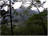 16
16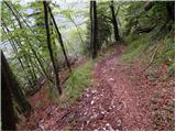 17
17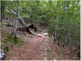 18
18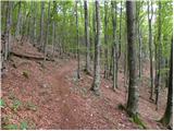 19
19 20
20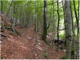 21
21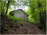 22
22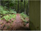 23
23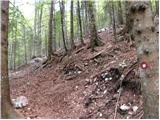 24
24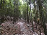 25
25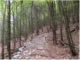 26
26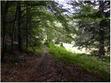 27
27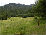 28
28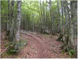 29
29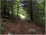 30
30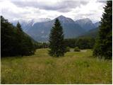 31
31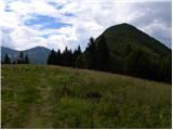 32
32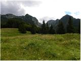 33
33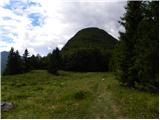 34
34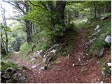 35
35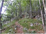 36
36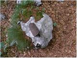 37
37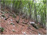 38
38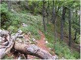 39
39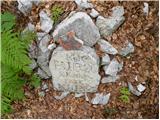 40
40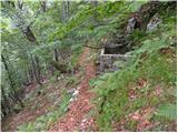 41
41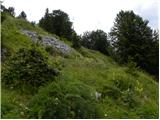 42
42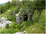 43
43 44
44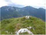 45
45 46
46 47
47