Jakob pri Šentjurju - Rifnik
Starting point: Jakob pri Šentjurju (300 m)
Starting point Lat/Lon: 46.1931°N 15.3964°E 
Time of walking: 45 min
Difficulty: easy marked way
Difficulty of skiing: easily
Altitude difference: 268 m
Altitude difference (by path): 268 m
Map:
Access to starting point:
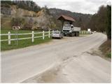
From highway Ljubljana - Maribor we go to the exit Dramlje and we follow the road ahead in the direction of Šentjur. In Šentjur, at the traffic light we continue straight through the underpass under the railway track and we follow the road ahead in the direction of Šentrupert. We park on a parking lot by the road, approximately 1km after the sign end of Šentjur (nearby a road branches off left upwards towards Rifnik - archaeological site).
Path description:
From the parking lot, we continue left upwards, on the road in the direction of Rifnik. And after few minutes of walking, a macadam road branches off to the left upwards (nearby there is a useless playground), which we follow only few steps. From this road right upwards a marked path branches off, which after a short ascent brings us on a worse road which we follow to the left, but only few meters. Blazes then point us to the right upwards on a footpath which ascends through the forest and higher runs past the farm, where we can notice some domestic animals. After the farm we step on a worse road which quickly brings us on an asphalt road which we follow left upwards. The path then runs past few houses and higher brings us to signs for archaeological site Rifnik. Here the road ends, and we continue past the house, through a meadow into the forest. Ahead we join the path from Šentjur and we follow it to the top.
Pictures:
 1
1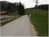 2
2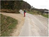 3
3 4
4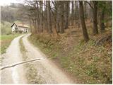 5
5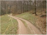 6
6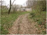 7
7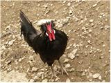 8
8 9
9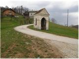 10
10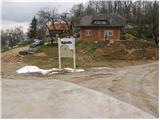 11
11 12
12 13
13 14
14