Jelovec - Koča na Žavcarjevem vrhu
Starting point: Jelovec (282 m)
Starting point Lat/Lon: 46.566°N 15.57181°E 
Time of walking: 2 h 15 min
Difficulty: easy marked way
Difficulty of skiing: no data
Altitude difference: 581 m
Altitude difference (by path): 620 m
Map:
Access to starting point:
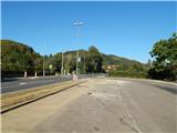
A) We drive to Maribor, and then we continue driving towards Dravograd. When we get to the settlement Jelovec, at the crossroad where the road branches off to the right towards the settlement Srednje, there is the beginning of the described path. We can park at the crossroad, where the road branches off to the right towards the settlement Srednje, or on the opposite side of the road on an asphalt parking lot by the bus stop.
B) From Dravograd we drive towards Maribor, when we get to the settlement Jelovec we turn right and we park on a parking lot by the bus stop.
Path description:
If we've parked on the southern side of the road, we at first carefully cross the main road, and then we go on the main road towards the settlement Srednje and mountain path on Žavcarjev vrh. The path ahead at first leads on an asphalt road which is ascending through the settlement Jelovec, where we follow the blazes and signs for settlement Srednje. Next follows few hairpin turns, after that a nice view opens up in the direction of Maribor. Further, we still walk on an asphalt road and at the crossroads, we follow the blazes. Higher, we pass on a macadam road, and there we get to a pasture, which we bypass on the bottom side. Behind the pasture follows a shorter descent, and past few houses we get to a crossroad from which we continue straight (left downwards along the stream Habidov potok we get into the valley or to the main road). Next follows some walking through the forest and then through a meadow we ascend past the homestead Rušnik.
Above the homestead, we get by the edge of the forest, and from the road we go on a cart track, on which continues the marked path. Next follows a diagonal ascent, and in few minutes we get to a pasture, from where again a nice view opens up.
On this part from the left joins the path from Spodnji Slemen, and we continue by the pasture to a smaller hamlet, where we reach the macadam road. We continue right upwards and we are still ascending diagonally towards the right. Higher, we leave the forest, and the path from which a nice view opens up on Pohorje turns sharply to the left and after few 10 strides of additional walking brings us to Koča na Žavcarjevem vrhu.
Description and pictures refer to a condition in September 2021.
On the way: Srednje (469m), Spodnji Slemen (651m)
Pictures:
 1
1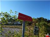 2
2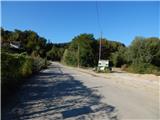 3
3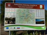 4
4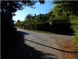 5
5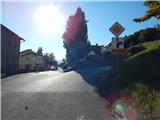 6
6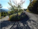 7
7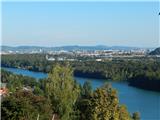 8
8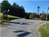 9
9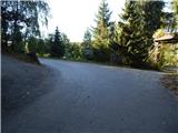 10
10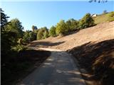 11
11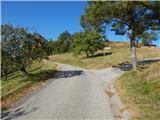 12
12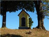 13
13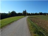 14
14 15
15 16
16 17
17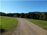 18
18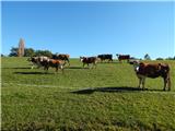 19
19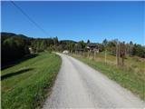 20
20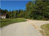 21
21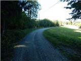 22
22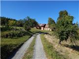 23
23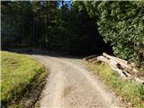 24
24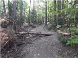 25
25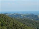 26
26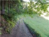 27
27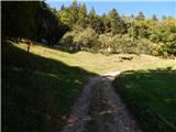 28
28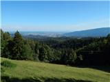 29
29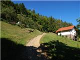 30
30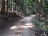 31
31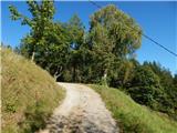 32
32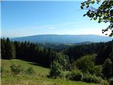 33
33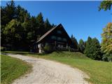 34
34