Starting point: Jureževa planina (1488 m)
Starting point Lat/Lon: 46.5029°N 13.8254°E 
Time of walking: 35 min
Difficulty: easy unmarked way
Difficulty of skiing: easily
Altitude difference: 249 m
Altitude difference (by path): 249 m
Map: Kranjska Gora 1:30.000
Access to starting point:
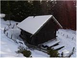
From Kranjska Gora, we drive towards Rateče, but only to the village Podkoren, where we go right towards the border crossing Korensko sedlo. Only few 100 meters before the border crossing forest road branches off sharply to the right which we follow past numerous streams to a crossroad. We continue straight (sharply left Jerebikovec). Soon and then the road makes a sharp right turn and in good 100 meters brings us on second crossroad, where we continue slightly left (right Brvogi) on the road that starts descending. Then we drive quite some time and we come on the third crossroad, where we go slightly right (sharply left Dolič). The road soon after that crosses a torrent, and we follow it few more 100 meters to the mountain pasture Jureževa planina, where we park on an appropriate place a little above the hunting cottage.
Path description:
From the hunting cottage on Jureževa planina we continue few more 10 meters on the forest road, and then we leave it and we continue the ascent left on ascending and often also muddy cart track. Cart track ascends through a lane of a forest and then it brings us on the upper grassy slopes of Vošca. Here the path turns to the left and then it is ascending diagonally towards the summit, which we already see in front of us, and we reach it after approximately 10 minutes of additional walking.
Pictures:
 1
1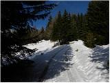 2
2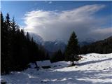 3
3 4
4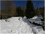 5
5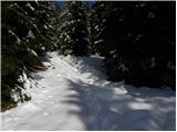 6
6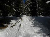 7
7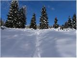 8
8 9
9 10
10 11
11 12
12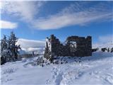 13
13 14
14