Starting point: Kamen (889 m)
Starting point Lat/Lon: 45.8868°N 14.5325°E 
Time of walking: 40 min
Difficulty: easy marked way
Difficulty of skiing: no data
Altitude difference: 170 m
Altitude difference (by path): 170 m
Map:
Access to starting point:
From south Ljubljana bypass highway, we go to the exit Ljubljana - Rudnik and we continue driving towards Ig. At the roundabout in Ig, we continue "left" (direction exit Kurešček) and then after few 100 meters sharply right uphill (again direction Kurešček). Further, we drive on a relatively wide and ascending road which we then follow through the village Škrilje and Golo. Higher, the road flattens a little and soon brings us into the forest, where we need to pay attention. By the road, we soon notice signs for Stara žaga, and from here on the main road, we continue only a good 100 meters to the next turn-off to the right. Further, we drive on the forest road which at the first crossroad, we follow straight, in second, by which we notice also few mountain signposts, sharply right. Further, we drive on the diagonally ascending road which higher turns a little to the left and then after a short descent brings us to a crossroad of several roads. We park on one of the parking lots by the road near the mentioned crossroad.
Path description:
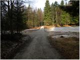
At the crossroad, we continue straight (looking from the direction of described access to the starting point) and we continue the ascent on the forest road, that is gently ascending through the forest. After approximately 15 minutes of walking, we come to a marked crossroad, where we continue sharply right in the direction of "peak Mokrc". Further, we are ascending on a little steeper road which still runs through more or less dense forest. Higher, the road makes a sharp left turn and only few 10 strides ahead brings us on a smaller saddle, where the marked path splits into two parts. We continue right on a marked footpath (straight on a marked road - defense platform of former JLA 3 minutes), which soon steeply ascends and after few minutes of additional walking brings us on with a forest covered peak.
Pictures:
 1
1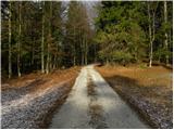 2
2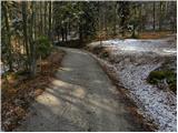 3
3 4
4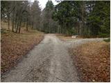 5
5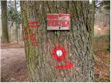 6
6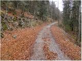 7
7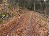 8
8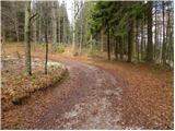 9
9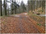 10
10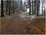 11
11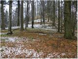 12
12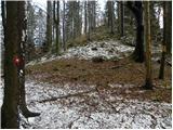 13
13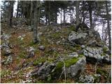 14
14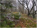 15
15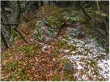 16
16 17
17