Koča pod slapom Rinka - Vellacher Turm/Storžek
Starting point: Koča pod slapom Rinka (1024 m)
Starting point Lat/Lon: 46.3696°N 14.5986°E 
Time of walking: 3 h 45 min
Difficulty: very difficult marked way
Ferrata: B
Difficulty of skiing: no data
Altitude difference: 1086 m
Altitude difference (by path): 1204 m
Map: Kamniške in Savinjske Alpe 1:50.000
Access to starting point:
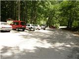
We drive to Luče (to here from Mozirje or over Kranjski rak) and forward towards Logarska dolina. Soon after the village Solčava we come to the crossroad, where a road to valley Logarska dolina branches off to the left. We turn left towards Logarska dolina (toll payment) and drive on the road to the parking lot at the mountain hut Koča pod Slapom Rinka, where we park.
Path description:
From the parking lot, we go on a wide tourist path which starts gently ascending. After a good ten minutes of walking, we come out of the forest, where we come to a crossing. We go left (right Orlovo gnezdo 3 minutes) in the direction of Dom na Okrešlju. The path ahead crosses a bridge and on the other side it starts ascending steeper. After a short ascent, the path brings us below the mountain walls, from where crossing to the top of the waterfall follows. This part is exposed to falling stones. After that, the path crosses Savinja again and then it is ascending upwards along the river with the help of the stairs. Next we are ascending on the right side (left bank) of Savinja. Soon, we come to the source of Savinja, where we again cross the water. On the other side, the path goes into a dense forest and after a short ascent, it brings us to winter shelter on Okrešelj. We continue left and in few steps we come to the mountain hut Dom na Okrešlju.
At the hut we go on a path in the direction of saddles Kamniško sedlo and Savinjsko sedlo. Soon, we come on the edge of a panoramic meadow, where there is a crossing. We continue straight through a meadow in the direction of the mountain huts Češka koča and Kranjska koča (left saddle Kamniško sedlo). The path ahead crosses a torrent and then it is ascending by gravel slightly upwards. We soon come to the next crossing, where the path on groove Turški žleb branches off to the left and towards the memorial plaque to which there is only few ten strides of walking. We continue straight on the more and more narrow valley. The path starts ascending steeper and brings us below the walls of Mrzla gora. The path ahead continues on the left side of the torrent, on a moderately steep grassy slope, which is partly covered with dwarf pines. The path ahead passes on the left side below the scree of Štajerska Rinka. In diagonal ascent, the path brings us below the mountain walls, where there is a danger of falling stones. Next follows shorter steep jump, and then the path goes a little right on grassy slopes, where we come to a crossing. We continue straight, and the path on Mrzla gora branches off to the right. We soon come again to a crossing, where the climbing path on Rinke branches off to the left upwards, and we continue straight on the path which soon turns right on steep slopes. Here the path steeply ascends and in few minutes brings us to bivouac Bivak pod Mrzlim vrhom. At the bivouac path turns right and few steps it is still steeply ascending, after that steepness decreases. Next follows few steps of walking to a saddle Savinjsko sedlo, where there is a national border.
From the saddle Savinjsko sedlo we continue slightly right (left Jezersko sedlo) on the path which starts descending towards the valley of Belska Kočna. After few minutes of descent, we will on the left side of the path notice a large caption on the rock “Klettersteig”. Here we leave the path towards the valley of Belska Kočna and we go left upwards on a little less beaten footpath. The path which is further marked with red dots, soon brings us to the entry of a climbing part of the path. Climbing path at first with the help of steel cables and stemples crosses a steep eastern slope of the mountain towards the north. The path then turns to the left and steeply ascends by the steel cable upwards. Later, the path brings us on a steep partly grassy slope, where caution is needed because the path is often slippery. In the last part of the path, we turn to the left and a short ascent follows on unsecured slope towards the summit.
Pictures:
 1
1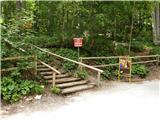 2
2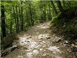 3
3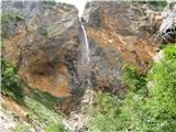 4
4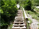 5
5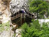 6
6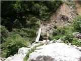 7
7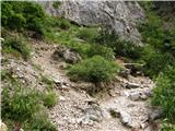 8
8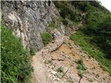 9
9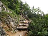 10
10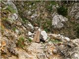 11
11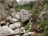 12
12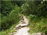 13
13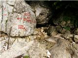 14
14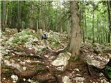 15
15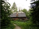 16
16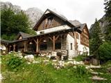 17
17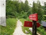 18
18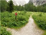 19
19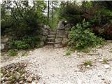 20
20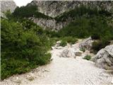 21
21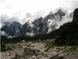 22
22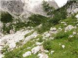 23
23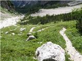 24
24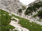 25
25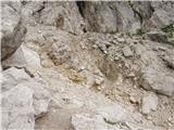 26
26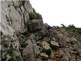 27
27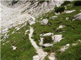 28
28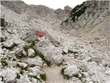 29
29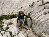 30
30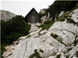 31
31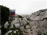 32
32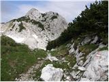 33
33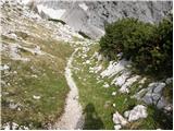 34
34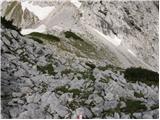 35
35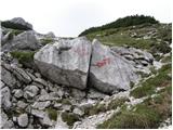 36
36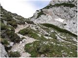 37
37 38
38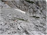 39
39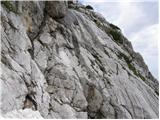 40
40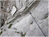 41
41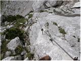 42
42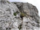 43
43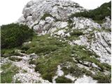 44
44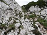 45
45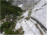 46
46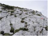 47
47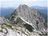 48
48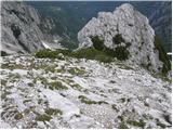 49
49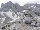 50
50