Kočevje - Koča pri Jelenovem studencu (Kalan way)
Starting point: Kočevje (464 m)
Starting point Lat/Lon: 45.633°N 14.8585°E 
Path name: Kalan way
Time of walking: 1 h 15 min
Difficulty: easy marked way
Difficulty of skiing: easily
Altitude difference: 386 m
Altitude difference (by path): 400 m
Map:
Access to starting point:
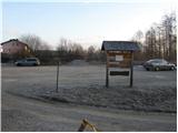
First, we drive to Kočevje, and then we look for street Podgorska ulica (which from the main road branches off to the right - direction of driving towards Delnice). At the end of the mentioned street we will notice signposts and by them a nicely settled parking lot.
Path description:
From the parking lot, we walk to a well-marked crossing, and then we continue right in the direction of the path Kalanova pot (left path Grajska pot). The marked path, which at first runs on the road, soon leaves it and continues left through the forest. Further, we are ascending on the path on which the steepness is increasing, and it few times crosses a forest road. Higher, the steepness decreases and the path joins the forest road on which we continue the ascent. The road soon starts descending and in few steps, it brings us to a marked crossing, where we continue straight in the direction of the cottage Koča pri Jelenovem studencu (left - Mestni vrh, right - Ledenik).
From the crossing to the cottage we have only few minutes of easy walking.
Pictures:
 1
1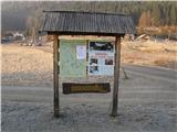 2
2 3
3 4
4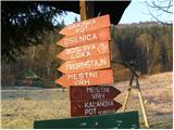 5
5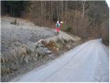 6
6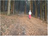 7
7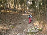 8
8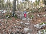 9
9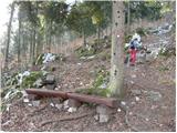 10
10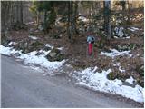 11
11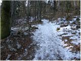 12
12 13
13 14
14 15
15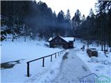 16
16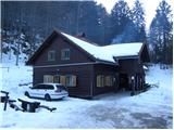 17
17