Kočevje - Mestni vrh (Grajska way)
Starting point: Kočevje (464 m)
Starting point Lat/Lon: 45.633°N 14.8585°E 
Path name: Grajska way
Time of walking: 1 h 40 min
Difficulty: easy marked way
Difficulty of skiing: partly demanding
Altitude difference: 570 m
Altitude difference (by path): 570 m
Map:
Access to starting point:
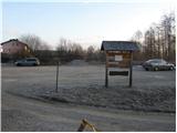
First, we drive to Kočevje, and then we look for street Podgorska ulica (which from the main road branches off to the right - direction of driving towards Delnice). At the end of the mentioned street we will notice signposts and by them a nicely settled parking lot.
Path description:
From the parking lot, we walk to a well-marked crossing, and then we continue left in the direction of the path Grajska pot (right path Kalanova pot). At first, we bypass a house, and then the path turns to the left and it ascends diagonally through a grassy slope. The path then goes into the forest, where in a moderate ascent continues on a relatively wide cart track. Higher, the cart track crosses a forest road and gradually changes into a little steeper footpath. A well-marked path higher few more times crosses a road and then it brings us to a crossing, where the path branches off to the left towards Livoldski vrh and castle Fridrihštajn.
We continue slightly right in the direction of the mountain hut and Mestni vrh on the path which continues on a well-marked cart track which has quite a few crossings. Even a little further, we notice signs for Mestni vrh, which point us to the right (straight cave Ledena jama and mountain hut Koča pri Jelenovem studencu) on a little narrower cart track, that starts ascending diagonally. Higher, the cart track changes into a steep footpath which we then follow all the way to the peak.
Pictures:
 1
1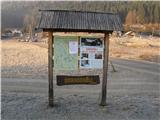 2
2 3
3 4
4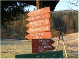 5
5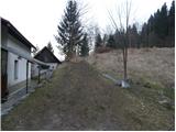 6
6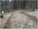 7
7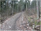 8
8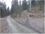 9
9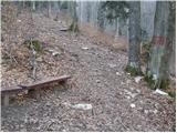 10
10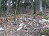 11
11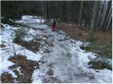 12
12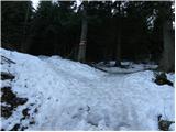 13
13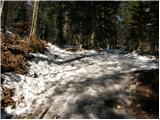 14
14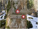 15
15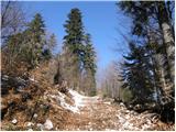 16
16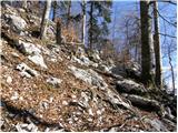 17
17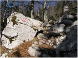 18
18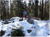 19
19