Kočna - Planina Obranica (od spomenika)
Starting point: Kočna (660 m)
Path name: od spomenika
Time of walking: 1 h
Difficulty: easy marked way
Difficulty of skiing: demanding
Altitude difference: 375 m
Altitude difference (by path): 375 m
Map: TNP 1:50.000
Access to starting point:
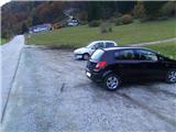
From the highway Ljubljana - Jesenice, we take the exit Lipce, where we turn left in the direction of "Blejska Dobrava and Spodnje Gorje". Soon, when we drive into the railway underpass, we are at the next crossroads, where we drive to the right - Bled, Kočna. Initially, the serpentine road ascends straight towards the west and soon in the left bend reaches the top or. settlement Kočna. Towards the end of the settlement, when the road descends a little, on the left we notice a guesthouse, and on the right a larger parking lot - our starting point.
Path description:
On the side of the road where we have parked, we step onto the cart track that leads towards the forest. Already after a few meters, we are at a slightly larger stone, on which there is a memorial plaque and the first trail blaze with the inscription Obranca, which directs us straight (westwards) into the forest. The path, which starts to ascend, in the forest first turns slightly left and soon after back into the same direction, straight, steeply upwards. At the first junction, we choose right, where the steepness increases even more. At the second, more indistinct junction, the blazes again direct us right into the steepness, where the path soon turns left and already soon again straight or into the slope, to a tree with a blaze, where it eventually gets lost a little. The path is supposed to turn right here, but due to overgrowth and fallen trees, we choose the steep direction straight ahead, where we soon encounter our path again - to the left. The steepness eases slightly for a short time, and the signs lead us to a larger quantity of fallen trees. Since we cannot continue the path following the blazes, a few meters before the mentioned fallen trees we direct ourselves right into the steepness, along the already somewhat cleared bypass. When we encounter the signs again, they direct us left, transversely towards the valley or wide gully, which we cross. From there onwards, we ascend again on a greater steepness, and the path directs itself more and more to the right towards the top of the steep, less tree-covered valley, through the middle of which we climb to the fence on the edge of the mountain pasture Obranca. We continue either into the little slope on the left, where there is a viewpoint, or westwards, past the monument across the pastures, to the shepherd's hut.
Pictures:
 1
1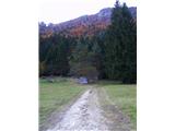 2
2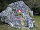 3
3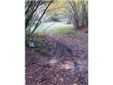 4
4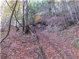 5
5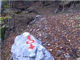 6
6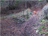 7
7 8
8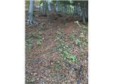 9
9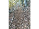 10
10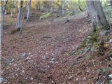 11
11 12
12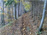 13
13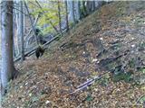 14
14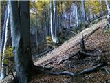 15
15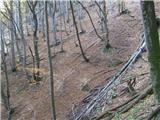 16
16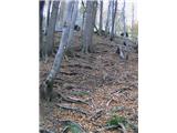 17
17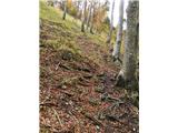 18
18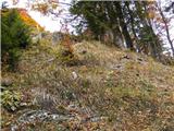 19
19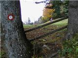 20
20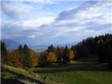 21
21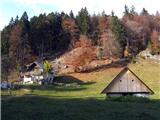 22
22