Korensko sedlo - Rekaršica (by road)
Starting point: Korensko sedlo (1073 m)
Starting point Lat/Lon: 46.5172°N 13.7514°E 
Path name: by road
Time of walking: 1 h 40 min
Difficulty: easy marked way
Difficulty of skiing: partly demanding
Altitude difference: 481 m
Altitude difference (by path): 481 m
Map: Kranjska Gora 1:30.000
Access to starting point:
From Kranjska Gora or Rateče we drive to Podkoren, and then we continue driving towards the saddle Korensko sedlo, which is the starting point for our tour.
Path description:
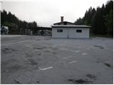
From the parking lot on a saddle Korensko sedlo, we at first cross the border, and then we continue on the asphalt road towards Beljak. After a good 5 minutes of walking, we will on the right side notice yellow hiking signposts, which point us on for traffic closed forest road (direction Steinberg).
At first gentle road, soon starts ascending steeper, which after approximately 1 hour of walking comes out of the forest on a larger clearing, from which a nice view opens up on the nearby Dobrač. Here the road flattens, and it turns a little to the right, where then crosses slopes towards the east. The worse road soon ends, and we continue right on a steep footpath which ascends on a slope straight upwards. After approximately 5 minutes of a steep ascent, the path turns to the left and flattens. Next follows gentle diagonal ascent through the forest, which ends on a saddle Rekaršica, on which there is a smaller shepherd hut.
Pictures:
 1
1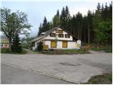 2
2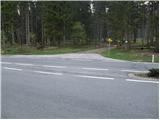 3
3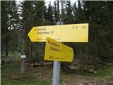 4
4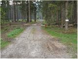 5
5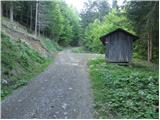 6
6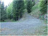 7
7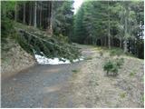 8
8 9
9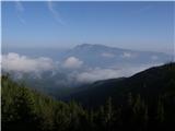 10
10 11
11 12
12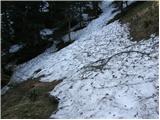 13
13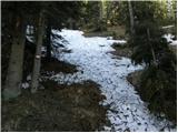 14
14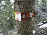 15
15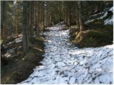 16
16 17
17 18
18