Kostanjevica na Krasu - Veliko Cerje (via Borojevićev prestol)
Starting point: Kostanjevica na Krasu (259 m)
Starting point Lat/Lon: 45.8458°N 13.6389°E 
Path name: via Borojevićev prestol
Time of walking: 1 h 15 min
Difficulty: easy unmarked way
Difficulty of skiing: no data
Altitude difference: 84 m
Altitude difference (by path): 135 m
Map: Goriška - izletniška karta 1:50.000
Access to starting point:
A) We leave the highway through the Vipava Valley at the exit for Šempeter and Nova Gorica, then from the nearby intersection we continue straight towards the industrial zone and Italy. A little further, we turn left towards Vrtojba and Miren, and further we follow the signs for Miren, Komen and Opatje Selo. When the settlement Miren ends, we ascend to the Karst plateau in a few hairpin turns, and we follow the road to the settlement Kostanjevica na Krasu, where at the beginning of the village a macadam road branches off to the left, where the described path begins. We park in a suitable place nearby.
B) We drive to Nova Gorica, then we continue driving towards Šempeter pri Gorici and further towards Vrtojba and Miren, and further we follow the signs for Miren, Komen and Opatje Selo. When the settlement Miren ends, we ascend to the Karst plateau in a few hairpin turns, and we follow the road to the settlement Kostanjevica na Krasu, where at the beginning of the village a macadam road branches off to the left, where the described path begins. We park in a suitable place nearby.
Path description:
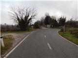
From the main road, we head onto the macadam path in the direction of Lokvice and Cerje, and the road on which we walk initially descends lightly. The path leads us towards the northwest, with the exception of a few turns, where we walk in the karst terrain, and occasionally along the path we notice trenches from the time of the First World War. Further on, a path branches off to the left, where during the time of the First World War there was the Segeti camp, and we continue straight on the wider macadam road. The path further leads us past a smaller monument, and then from the right the path past Ruska jama joins.
From the junction onwards, the road ascends moderately, and when it flattens, we already arrive at Borojevićev prestol, where several memorial plaques stand.
A little further, an approximately 5 minutes long path to the Pečinka cave branches off to the left, and we continue straight and follow the road to the next marked junction, from which we go right onto the footpath in the direction of Cerje. A short ascent follows, then the path flattens and from the left a trail joins us that leads past the Pečinka cave. A shorter walk follows and we reach the asphalt road, which we follow to the right to the nearby parking lot.
From the parking lot follows another 5 minutes of moderate ascent along the road and we arrive at the monument on Cerje, from where a beautiful view opens up.
Description and pictures refer to the condition in February 2020.
On the way: Borojevićev prestol (281m)
Pictures:
 1
1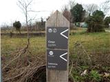 2
2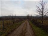 3
3 4
4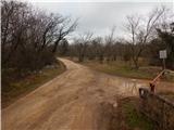 5
5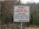 6
6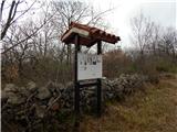 7
7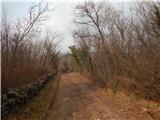 8
8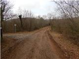 9
9 10
10 11
11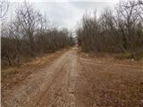 12
12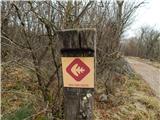 13
13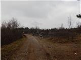 14
14 15
15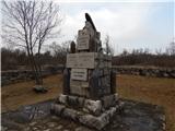 16
16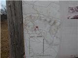 17
17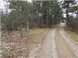 18
18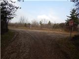 19
19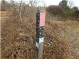 20
20 21
21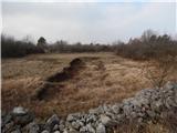 22
22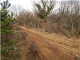 23
23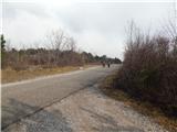 24
24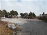 25
25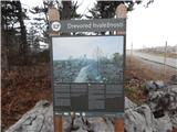 26
26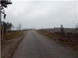 27
27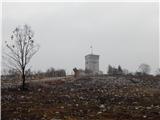 28
28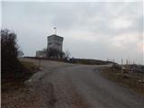 29
29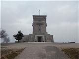 30
30