Starting point: Kostel (324 m)
Time of walking: 30 min
Difficulty: easy marked way
Difficulty of skiing: no data
Altitude difference: 103 m
Altitude difference (by path): 106 m
Map:
Access to starting point:
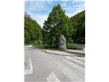
To Croatia we go over the border crossing Rogatec / Hum na Sutli. From Hum na Sutli we continue in the direction of settlements Pregrada and Zabok, and we drive only to the end of the village Kostel, where we will at the crossroad turn sharply right (turn-off is poorly visible; at the crossroad there are monument and source). Officially the path starts here, but because there aren't any appropriate spots for parking, we go upwards by the chapel of the suffering Jesus all the way to the church of St. Mirko, where we park at the cemetery.
Path description:
At the cemetery in the village Kostel we will notice signs for Kostelgrad, which point us on a narrow road, on which we go upwards (orientation is easy, because Kostelgrad is visible from the starting point).
The road goes into the forest and after few minutes of walking, we get to a sharp turn to the left. Next follows few minutes of gentle ascent and we come to a crossing below the castle, where join the steep path, unmarked path from the peak Kuna gora and the path from Pregrada.
We continue forward and after few more minutes of walking, we get to the foot of ruins of Kostelgrad.
Next follows an ascent on castle, where we get help from stairs.
Despite a relatively low altitude, the castle is a nice vantage point.
Pictures:
 1
1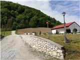 2
2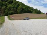 3
3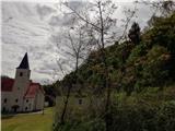 4
4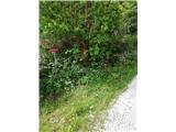 5
5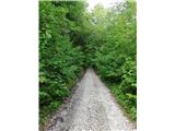 6
6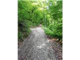 7
7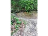 8
8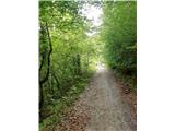 9
9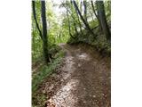 10
10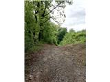 11
11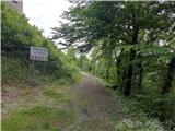 12
12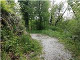 13
13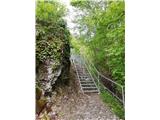 14
14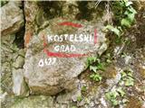 15
15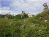 16
16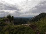 17
17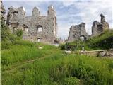 18
18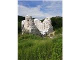 19
19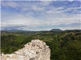 20
20