Krtovše - Waterfall Slap v Sopotih (Pršjak)
Starting point: Krtovše (255 m)
Starting point Lat/Lon: 46.0567°N 13.8271°E 
Time of walking: 25 min
Difficulty: easy unmarked way, partly demanding unmarked way
Difficulty of skiing: no data
Altitude difference: 105 m
Altitude difference (by path): 105 m
Map: Goriška 1:50.000
Access to starting point:
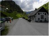
A) First, we drive to Idrija, and then we continue driving towards Tolmin. When we get to Dolenja Trebuša we leave the main road and we continue driving left towards Čepovan. At the next crossroad, where the road on Oblakov Vrh branches off to the left, we continue right and drive ahead past the church in Dolenja Trebuša. A bit higher, the road again splits into two parts. This time we continue slightly left in the direction of Gorenja Trebuša and fish farm. The road towards Gorenja Trebuša we follow for approximately 3 km, and then we get to the inn Makuc, by which there is a parking lot and signs for the waterfall Pršjak.
B) From Most na Soči or Podbrdo we drive to Bača pri Modreju, and then we continue driving towards Idrija. When we get to Dolenja Trebuša we leave the main road and we continue driving right in the direction of Čepovan. At the next crossroad, where the road on Oblakov Vrh branches off to the left, we continue right and drive ahead past the church in Dolenja Trebuša. A bit higher, the road again splits into two parts. This time we continue slightly left in the direction of Gorenja Trebuša and fish farm. The road towards Gorenja Trebuša we follow for approximately 3 km, and then we get to the inn Makuc, by which there is a parking lot and signs for the waterfall Pršjak.
Path description:
By the parking lot we notice signs for the waterfall Pršjak, which point us on a cart track which continues by the left bank of the stream. A little further, we get to a footbridge, we cross it and on the other side for a short time, we steeply ascend. After a short ascent, we join a little wider path which runs on the right bank of the stream Pršjak. The path further is ascending diagonally, and occasionally crosses also some steeper slopes, but because the path is wide enough in dry it doesn't cause bigger problems. After a good 20 minutes of walking, we get to precipitous viewpoint, from which a nice view opens up on waterfall Slap v Sopotih and above it waterfall Mali slap v Sopotih.
At the viewpoint relatively easy path ends, if we want, we can continue to other waterfalls.
If we decide to continue path ahead leads on a little wider path, and which crosses a very steep partly grassy slopes. All the time during the crossing we have a nice view in depth where there is falling a waterfall Slap v Sopotih. Traverse, which in dry isn't that difficult, quickly ends, and the path returns into the forest. When we step into the forest for some time we cross slopes, and then right below us we notice several smaller waterfalls with nice pools. Above the pools path brings us to the ruins of former homestead, and more and more overgrown path a little further brings us to the next homestead, which is still in relatively good condition. Here quite an overgrown path towards fifth waterfall branches off to the right and further on a riverbed to the waterfall Trentarjev slap. Waterfalls above Trentarjev slap, are harder accessible, we ascend to them by returning to the nearby homestead and from there we continue the ascent.
Pictures:
 1
1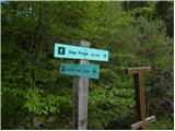 2
2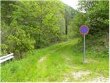 3
3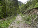 4
4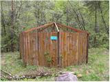 5
5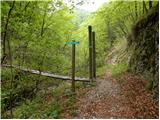 6
6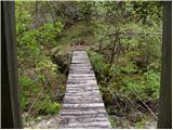 7
7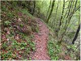 8
8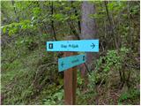 9
9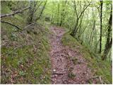 10
10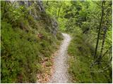 11
11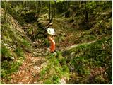 12
12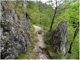 13
13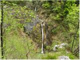 14
14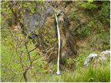 15
15