Lago di Fedaia - Col di Bousc
Starting point: Lago di Fedaia (2098 m)
Starting point Lat/Lon: 46.4574°N 11.8649°E 
Time of walking: 1 h 15 min
Difficulty: partly demanding unmarked way
Difficulty of skiing: no data
Altitude difference: 396 m
Altitude difference (by path): 400 m
Map: Tabacco 07 1:25.000
Access to starting point:
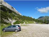
A) First, we drive to Cortina d'Ampezzo (to here possible over the border crossing Rateče or Predel to Trbiž / Tarvisio and then on a highway in the direction of Videm / Udine to exit Tolmezzo. From Tolmezzo we follow the road in the direction of village Ampezzo and mountain pass Passo Mauria. The road then descends and it brings us to a crossroad, where we continue left (possible also right) in the direction of Cortina d'Ampezzo. At all next crossroads, we follow the signs for Cortina d'Ampezzo and then we follow the signs for Alpine mountain pass Passo di Falzarego. Already in the first part of the ascent towards the mountain pass Falzarego we will get to a crossroad, where signs for mountain pass Passo di Giau (2233 meters) and Marmolada point us to the left. The road behind the mountain pass Giau starts descending and lower we follow it through the settlements in the direction of Marmolada or mountain pass Passo di Fedaia. The road which then again starts ascending higher brings us on a mountain pass Fedaia, and we follow it over on the other side of the lake, where we park on a parking lot near the mountain hut Rifugio Castiglioni Marmolada.
B) Access from Primorska: We drive on the highway in the direction of Padova, but only to a highway junction, where we continue in the direction of the town Veneto and Belluno. Near Belluno the highway ends, and we follow the road ahead in the direction of Belluno, where at the larger crossroad we continue right in the direction of the town Agordo. From the mentioned town ahead we follow frequent signs for Marmolada or mountain pass Passo di Fedaia. When we get to the mentioned mountain pass we follow the road on the west side of the lake, where we go left on the road which runs over a dam and then we park on the upper large parking lot.
Path description:
From the parking lot, we go on the path 606 following the signs “Punta Penia, Rif. Pian dei Fiacconi”. The path is at first ascending through rare dwarf pines and bushes a little left from a cableway, which runs towards the mountain hut Pian dei Fiacconi. The path then brings us out of the dwarf pines and soon turns to the right and brings us on the west side of the cableway. Here the path starts ascending below the steep mountain walls of the peak Col di Bousc (2494m) towards the south. Next follows few ascents in zig-zags and we are already on a saddle Col di Bousc (2438 meters). On the saddle where there is a crossing, we continue sharply right on an unmarked footpath which leads on the western slopes of the peak Col di Bousc. And straight leads the path towards the mountain hut Pian dei Fiacconi.
From the crossing, we at first continue past military ruins and then on an unmarked footpath which in a gentle ascent crosses quite steep western slope. The slope then becomes less steep and follows an ascent towards the ridge. When we reach the ridge, which is precipitous on the eastern side, we continue left and we are soon on panoramic summit Col di Bousc. Few meters below the summit we will by the path also notice military tunnel from the time of the first world war.
On the way: Col de Bous (2438m)
Pictures:
 1
1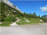 2
2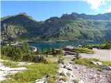 3
3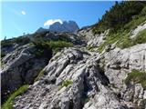 4
4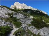 5
5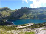 6
6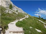 7
7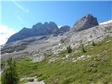 8
8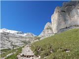 9
9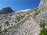 10
10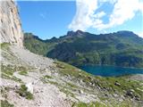 11
11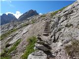 12
12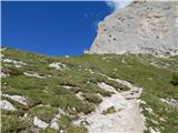 13
13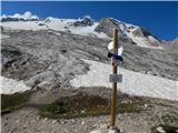 14
14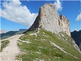 15
15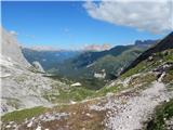 16
16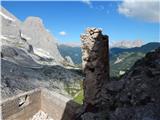 17
17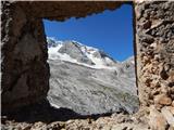 18
18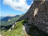 19
19 20
20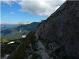 21
21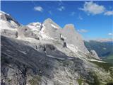 22
22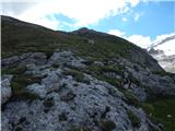 23
23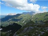 24
24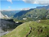 25
25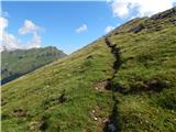 26
26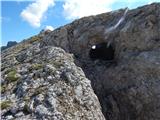 27
27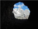 28
28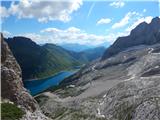 29
29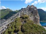 30
30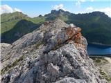 31
31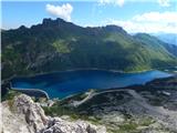 32
32 33
33 34
34 35
35