Starting point: Lake Negova (220 m)
Starting point Lat/Lon: 46.59423°N 15.96414°E 
Time of walking: 1 h
Difficulty: easy marked way
Difficulty of skiing: no data
Altitude difference: 121 m
Altitude difference (by path): 170 m
Map:
Access to starting point:
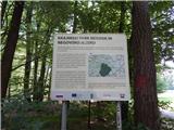
We leave Pomurska highway at exit Sveti Jurij ob Ščavnici, and then we follow the road towards Radenci. And soon after we leave the highway, we go left towards Negova and also in the next crossroads, we follow the road towards Negova and castle Negova. We leave the road towards Negova at the spot, where signs for Ivanjski Vrh and Lake Negova (Negovsko jezero) point us to the left on a side road which descends a little. When we get to the settlement Ivanjski Vrh we go right towards the lake, by which we park on an appropriate place, only few meters away from the marked path.
Path description:
From the starting point, we return to the hiking signposts, and then we go towards Cerkvenjak and lake Blagoško jezero, where we at first walk on a quite steep asphalt road. The road higher brings us out of the forest and flattens, and it leads us also past occasional hamlets of the settlement Ivanjski Vrh. An asphalt road which offers quite nice views on surroundings also has some crossroads, where we follow the blazes or signs of Pomurje mountain trail. At the crossroad, where the road branches off to the right towards the settlement Kunova and Pachamama center we go left. Only a little further, at the stop sign, where we reach a little wider asphalt road we go right. Few minutes we walk by the edge of the mentioned road which leads further towards Sveta Trojica, and at the marked crossroad we go left towards Cerkvenjak and Sveti Jurij ob Ščavnici.
The path ahead again leads on a little narrower asphalt road which is mostly gently to moderately ascending. A little further, we get to the settlement Cogetinci Cenkova, where at the left turn we get to a crossroad.
To the right, the road branches off towards Archaeological park, and we continue on the main road which for some time becomes a little steeper. When the road flattens, we go also past the plague column in Cogetinci, and few minutes ahead we already get to Cerkvenjak. When in Cerkvenjak at the memorial of Slovenian Territorial Defence Ptuj we reach the main road, we go right. Few steps ahead on the pedestrian crossing we carefully cross the main road, and then we continue on the sidewalk through the center of the settlement, where past the inn Gostišče pri Antonu we get to the chapel of St. Anthony the Hermit, which is situated at the highest point of the settlement.
Description and pictures refer to a condition in July 2021.
On the way: Ivanjski Vrh (297m), Cogetinci Cenkova (294m)
Pictures:
 1
1 2
2 3
3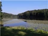 4
4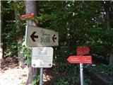 5
5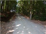 6
6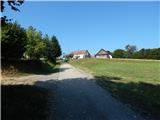 7
7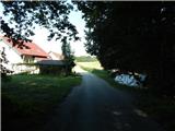 8
8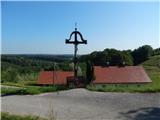 9
9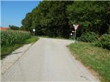 10
10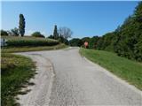 11
11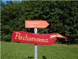 12
12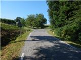 13
13 14
14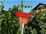 15
15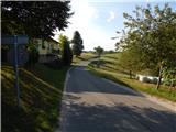 16
16 17
17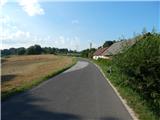 18
18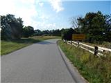 19
19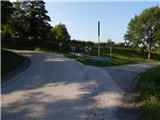 20
20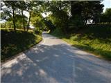 21
21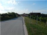 22
22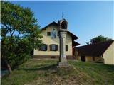 23
23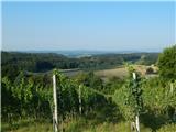 24
24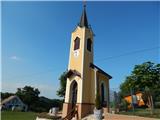 25
25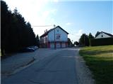 26
26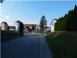 27
27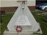 28
28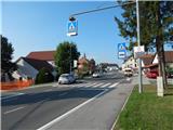 29
29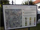 30
30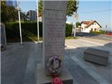 31
31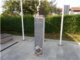 32
32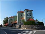 33
33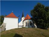 34
34