Liboje (quarry) - Kotečnik (via eastern ridge)
Starting point: Liboje (quarry) (339 m)
Starting point Lat/Lon: 46.19774°N 15.19466°E 
Path name: via eastern ridge
Time of walking: 1 h 5 min
Difficulty: easy unmarked way
Difficulty of skiing: no data
Altitude difference: 433 m
Altitude difference (by path): 433 m
Map: Celjska kotlina, 1:50000
Access to starting point:
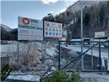
From highway Ljubljana - Maribor we go to the exit Žalec and then we drive towards Arja vas. At the crossroad at the end of the village, we continue straight in the direction of Liboje. Soon after the traffic sign, end of the village Liboje, we will notice quarry Kamnolom Liboje, VOC Ekologija. Approx 900 meters ahead on the asphalt road on the right side of the road along the stream Bistrica there is a parking lot, which represents our starting point.
Path description:
The starting point of the path is at the parking lot by the road and by the stream Bistrica. A larger part of our path to Kotečnik leads on a good unmarked cart track, then on a narrower marked forest path and lastly on the ridge of Kotečnik.
We go towards the summit of Kotečnik and we at first cross the stream Bistrica. We continue on a good cart track upwards, past the hunting observatory and a feeding site for wild animals, at first along the trickling stream lower on the left. We soon leave the stream and we continue on a cart track right - left upwards, where views start opening up towards Malič, Kamčič and Veliki Slomnik. When the steepness decreases, we continue on contour line to the end of the cart track, where the path narrows into a forest footpath. From here further on the steep path in zig-zags all the way to the eastern ridge of Kamčič we follow the arrows with letter F. When we get to the ridge, we go towards the west, where we continue on the eastern ridge towards the summit of Kotečnik. We at first get to a beautiful vantage point, where the views open up practically on all sides towards the surrounding hills, the closest among them are Tovsti vrh, Malič, Šmohor, Brnica, Veliki Slomnik, Kamčič etc. To the peak we have 5 more minutes of walking, where we get to the inscription book with a stamp. If we still continue downwards on the ridge in the same western direction, this time on a marked path, we get to another inscription book on the lower summit.
On the way: Kamčič (525m)
Pictures:
 1
1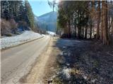 2
2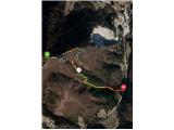 3
3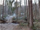 4
4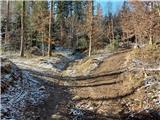 5
5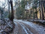 6
6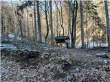 7
7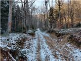 8
8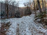 9
9 10
10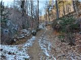 11
11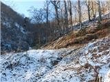 12
12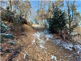 13
13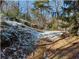 14
14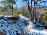 15
15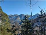 16
16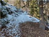 17
17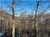 18
18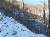 19
19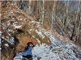 20
20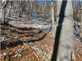 21
21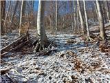 22
22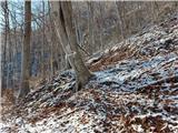 23
23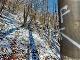 24
24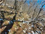 25
25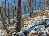 26
26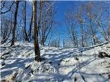 27
27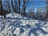 28
28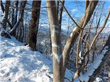 29
29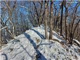 30
30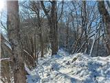 31
31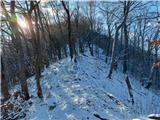 32
32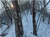 33
33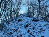 34
34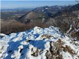 35
35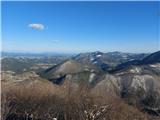 36
36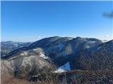 37
37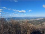 38
38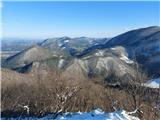 39
39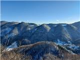 40
40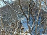 41
41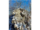 42
42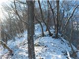 43
43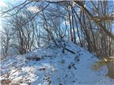 44
44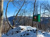 45
45